Blogroll
Categories
- 25 Short VIDEO
- Apocalypse Couloir (Technical Ecstasy)
- Apocolypse Couloir Prospectors Peak
- Bivouac Peak
- Black Hole Couloir
- Buck Moutain East Face VIDEO
- Drizzlepuss SE Face
- Eagles Rest Peak North Couloir
- Ferry Peak VIDEO 12/20/11
- Grand Teton Owen Spalding Route
- Granite Peak Beartooths Montana
- GTNP 12/5/11 Video
- GTNP 2/4/12 VIDEO
- GTNP Blower 1-5
- Hyalite Canyon Ice climbing
- It finally snowed VIDEO
- It Started in the Sage VIDEO
- JHMR 6/10/11 VIDEO
- JHMR Backcountry 5/27/12 Summer skiing
- JHMR Slackcountry 3/30/11 VIDEO
- Mountaineers Route Mt Whitney
- Mt Cowen North East Arete
- Mt Lassen
- Mt Moran CMC Route SLIDE SHOW VIDEO
- Mt Shasta and Mt McLoughlin
- Mt Wood East Face
- Mt Woodring South Face 6/11/11
- North West Face Mt Mary Austin
- Northern Range GTNP
- Peak 10,686
- Peak 11094
- Pinner Couloir Laurel Mountain
- Quote of the Day
- Red Mountain
- Rendevous Peak
- Rockchuck peak East Face
- Shadow Peak VIDEO
- Skiing
- Soth Side Teton Pass VIDEO 12/1/11
- South East Couloir South Teton
- Spring Blower Albright 4/20 and Teton Pass 4/22 VIDEO
- Storm Week Last of the Goods
- Taylor 2/10/11 VIDEO
- Taylor 2/2/12 VIDEO
- Taylor Lower East Face VIDEO 12/28
- Teton Pass
- Teton Pass 1/19/11 VIDEO
- Teton Pass 12/29 VIDEO
- Teton Pass 3/17/11 VIDEO
- Teton Pass 3/22/11 Pyramid 3/26/11 VIDEO
- Teton Pass 4/6 and 4/7/11 VIDEO
- Thor Peak SE Ridge
- Thor Peak Standard Route
- Tukuarika Peak
- Turkey Chute 4/27/11
- Uncategorized
- V Couloir Prospectors Peak
- Waterfalls Canyon
- West Hourglass Nez Perce
- Whitetail Couloir Whitetail Peak
Meta
JEFFERSON
Posted in Uncategorized
2 Comments
THOR PEAK SE RIDGE
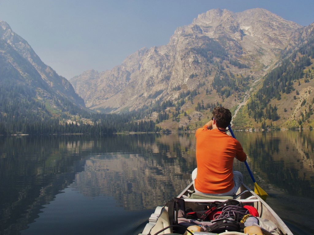
This report is from last fall. Thor Peak is a bear of a climb. The climb started the day before by canoeing String Lake, a small portage to Leigh Lake, then on to the Leigh Lake campsite, 14a. We had a few options from our camp and we spent a while trying to decide what climb to attempt. We settled on the SE ridge route of Thor Peak, a grade 2 5.4 route. No problem.
We awoke at 4 am and began following the climbers trail up Leigh Canyon shortly after. The trail is okay for most of the way to the south buttress of Moran area as it climbs on the north side of Leigh creek.
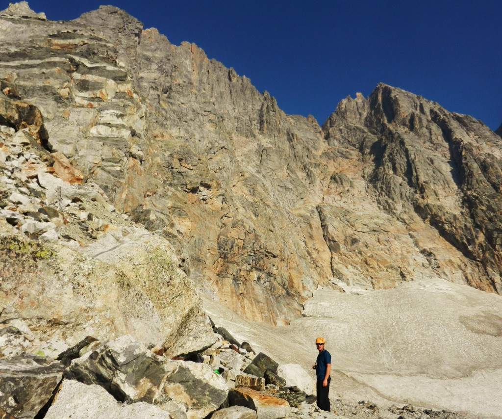
We started up the East Face Glacier drainage of Thor Peak to the terminal moraine.
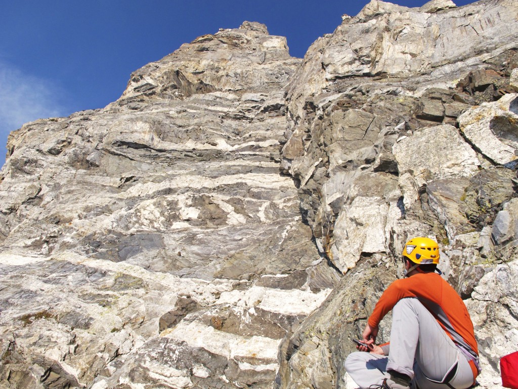
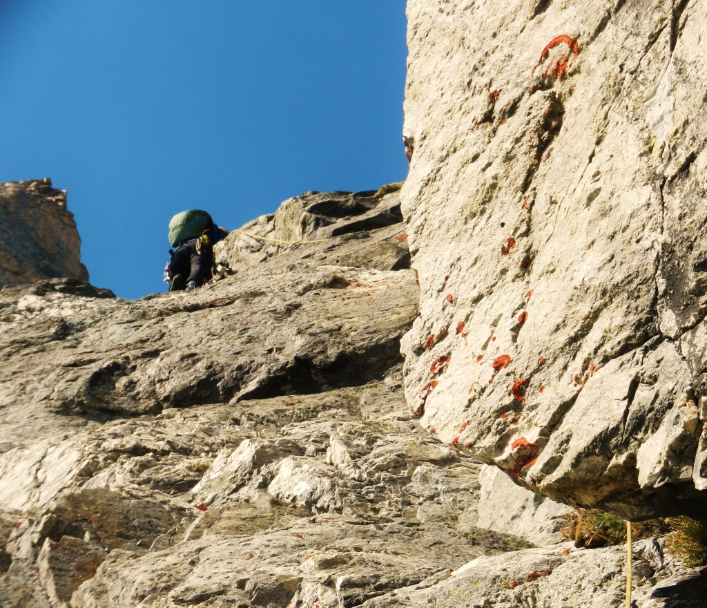
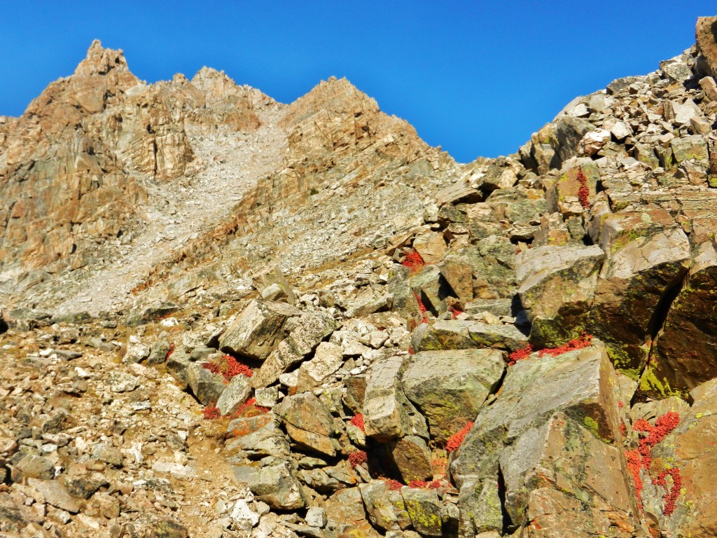
We scrambled up to the intersection of the terminal moraine and the SE Ridge and found ourselves at the base of the rock pitches. Both the climbing guide and another report we read from Dr Dirtbag’s website described what we saw. The one thing they didn’t stress was the amount of loose rock.
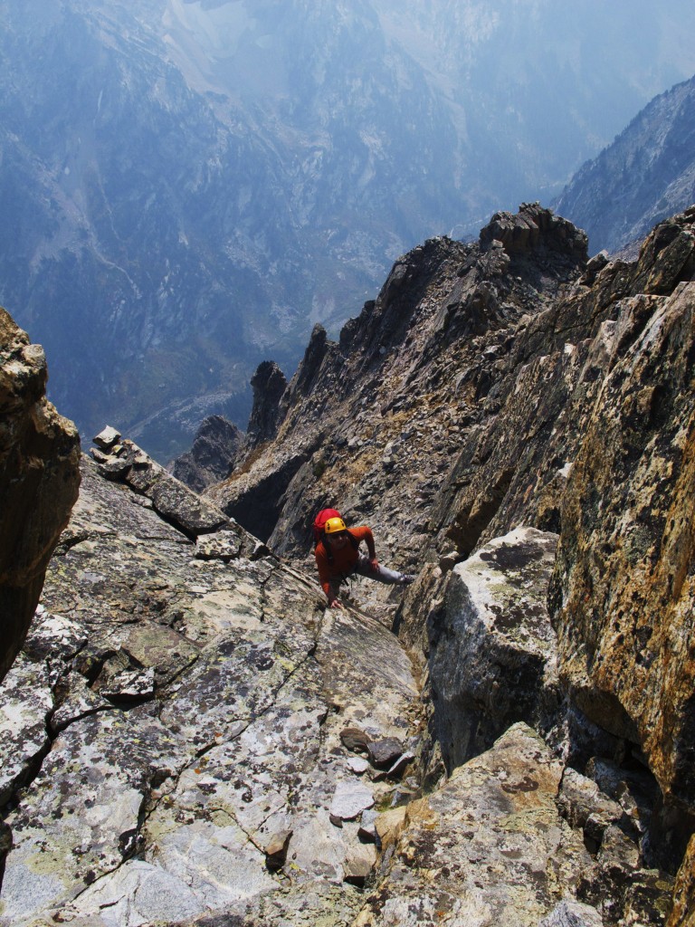
The rock was slabby and loose with minimal pro in spots. It felt committing, an isolated big mountain, minimal rack for rappelling, and not knowing if we were “on route”. I had that little feeling deep in my stomach.
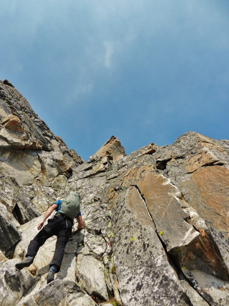
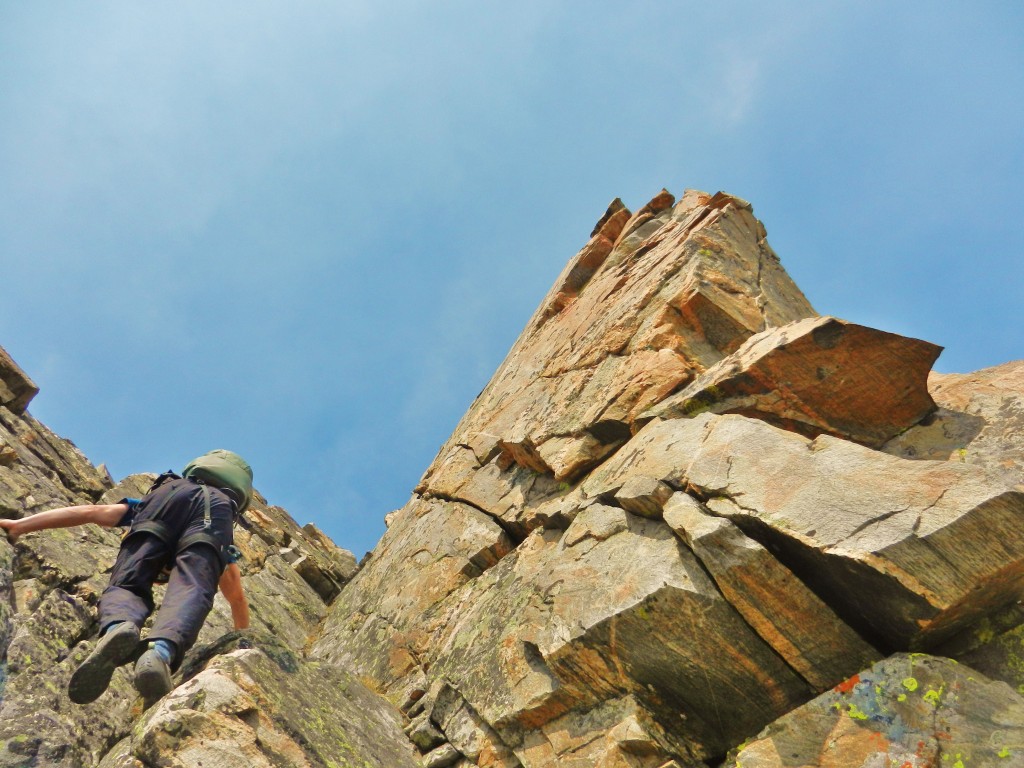
We climbed 3 pitches of loose, slabby, broken rock (5.4) with some 4th class soloing and arrived at a notch in the SE Ridge. Moral was improving, things started to add up, we were gaining some ground.
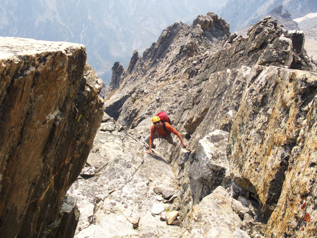
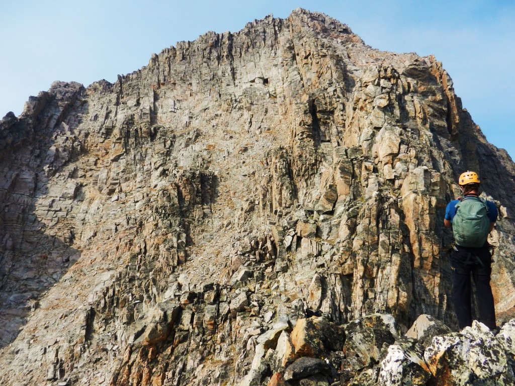
We scrambled into a steep, loose gully that fell away to the East Face Glacier. Scary loose rock. We arrived at yet another notch that overlooked the south face of Thor Peak “Spiral Face” ski route. From here on out it looked to be a lot of scrambling on 3rd and 4th class rock to the summit.
There may have been easier routes, the guide book says 3rd class, old school I guess, but we kept on a pretty direct line on the SE Ridge to the summit. We found fun and interesting 3rd, 4th and easy 5th class climbing to the summit.
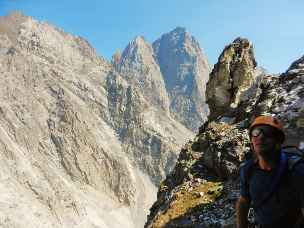
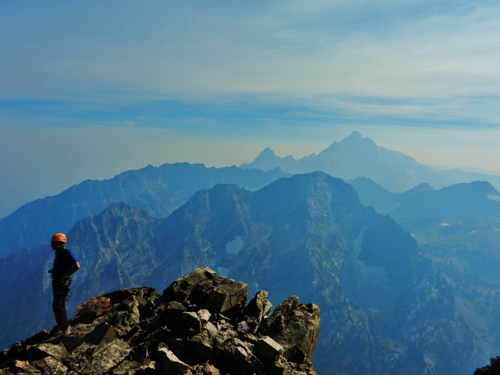
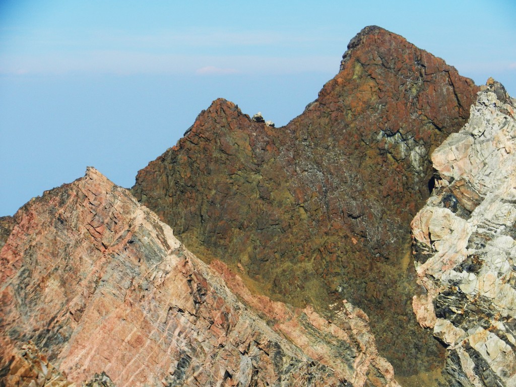
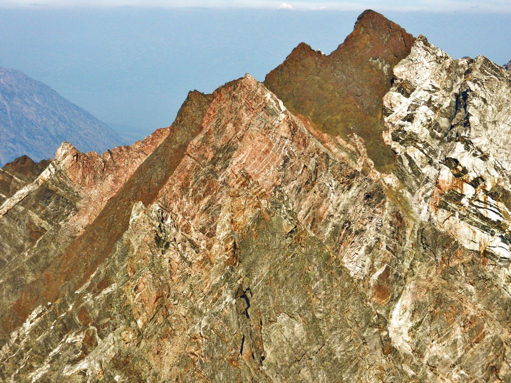
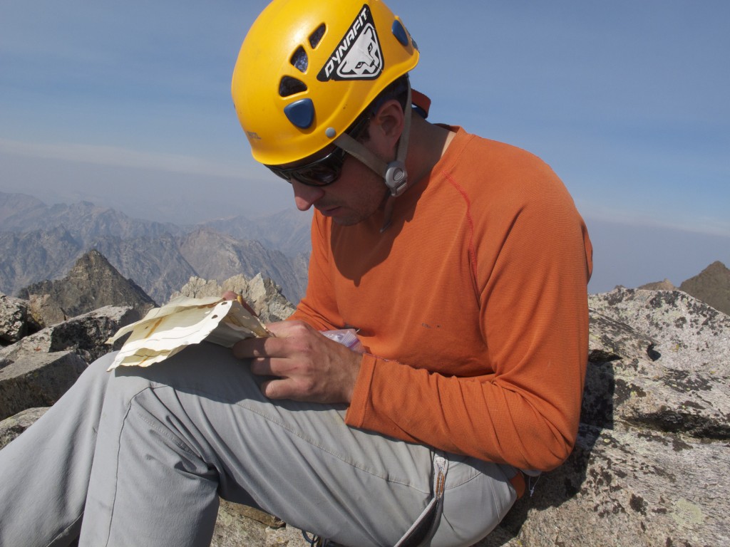
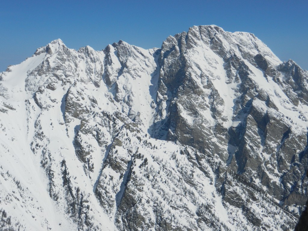
We arrived at the summit and found a register. It was a very old tin can with a few sheets of paper in a plastic bag. It was buried in snow when I was here 3 years ago with Kyle. There were only a handful of signatures in the log, maybe 15 ascents recorded. This Peak is in the shadow of Moran, Thor doesn’t get the attention it deserves. It is a “real” Teton Peak. No trails, and minimal beta. The views were amazing all around. The ridge from Thor to Moran looks intimidating yet intriguing. The Black Dike goes straight through Moran from the CMC, then continues west through the ridge.
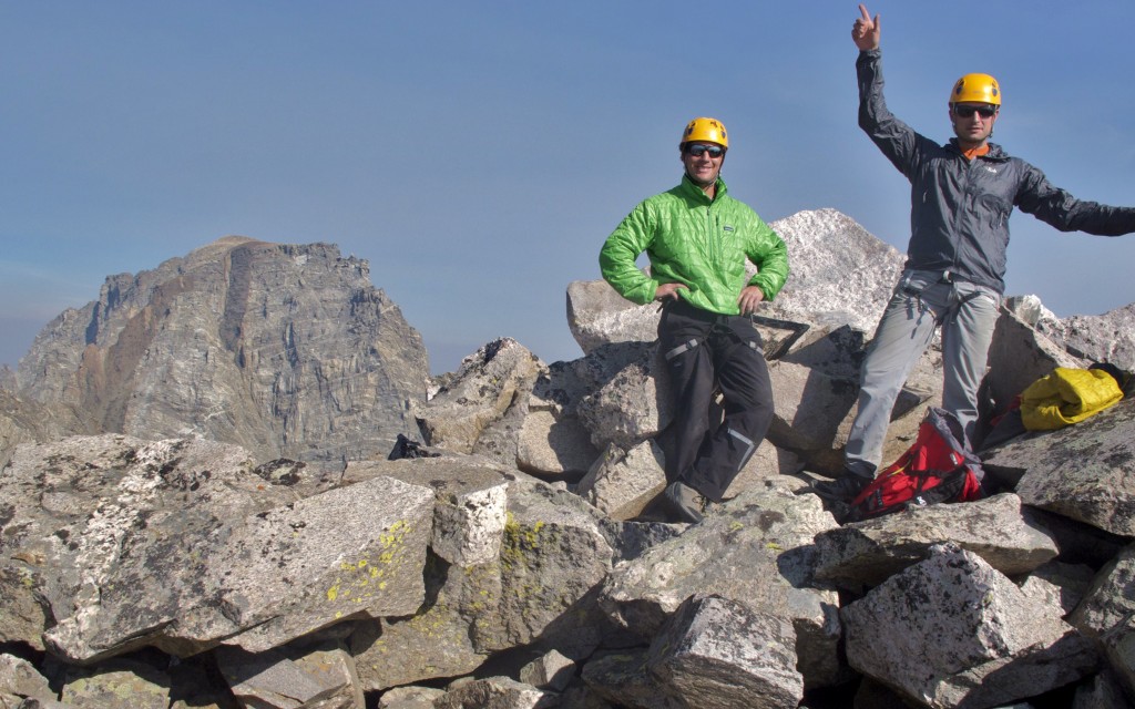
We spent some time on the summit taking pictures and signing the register then readied ourselves for the descent. It was not “in the bag” by any means. We had more than 4000 vertical of trailess, loose, mountainous terrain to descend the “standard route” which I skied with Kyle 3 years ago in April.
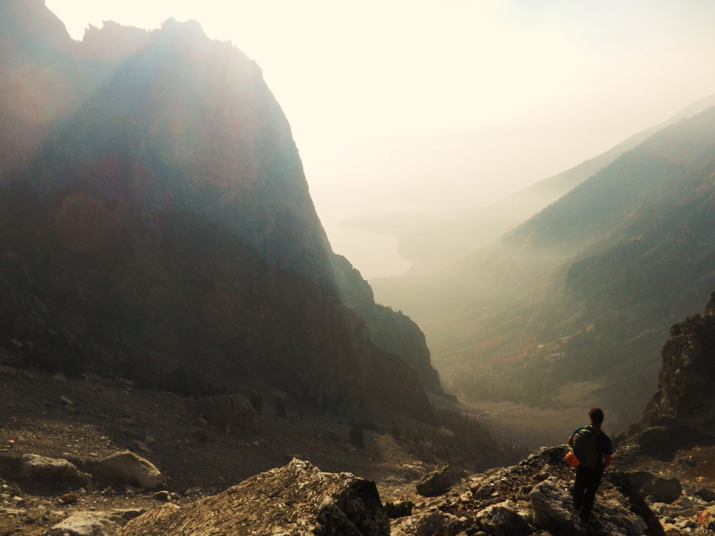
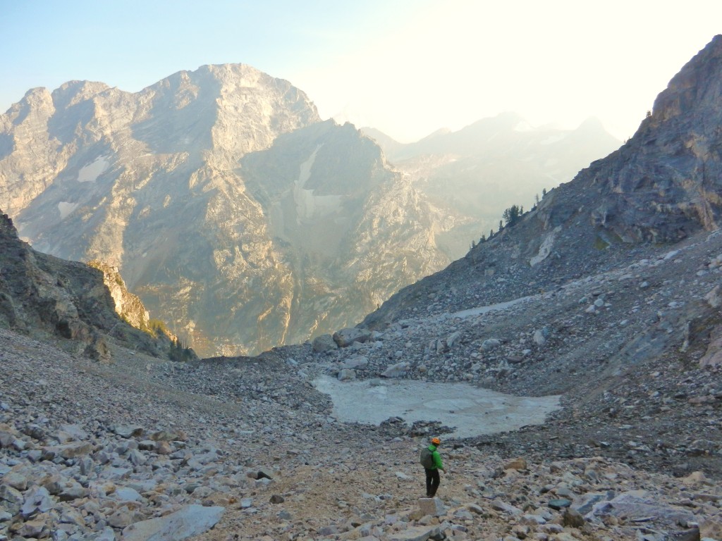
Now is when you want to be skiing. It is long and tedious 4300 vertical ft descent down the west side of this huge mountain to arrive at the bottom of Leigh Canyon. Then we have 3 trailess miles back to our camp on Leigh Lake. Here we go…
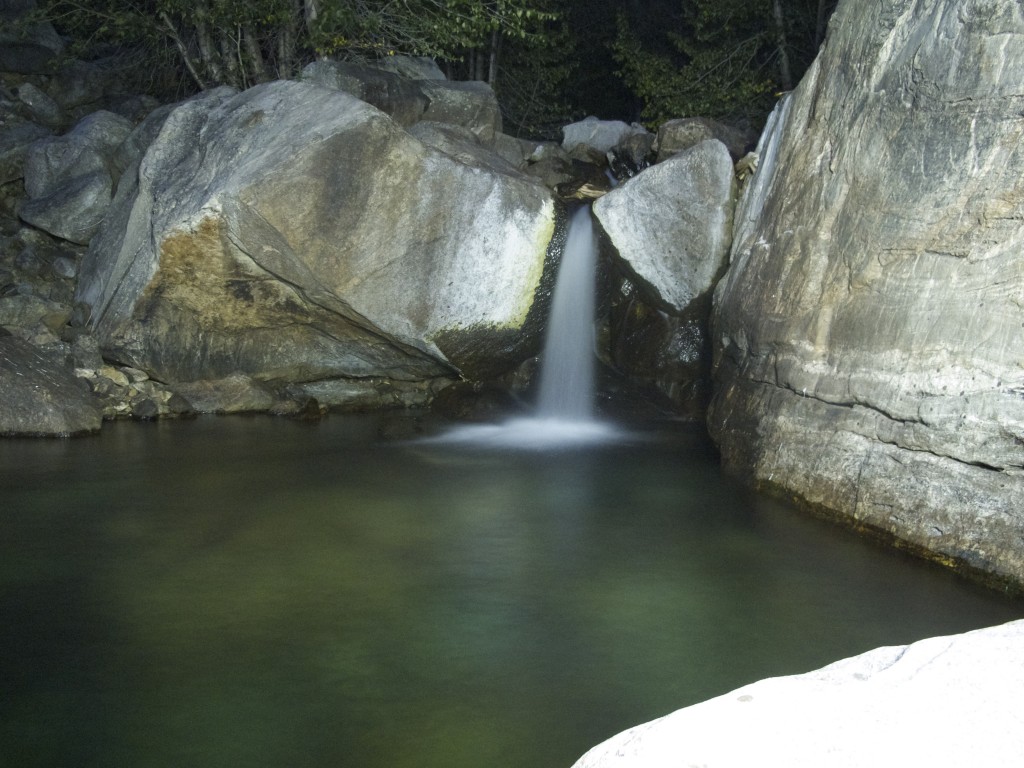
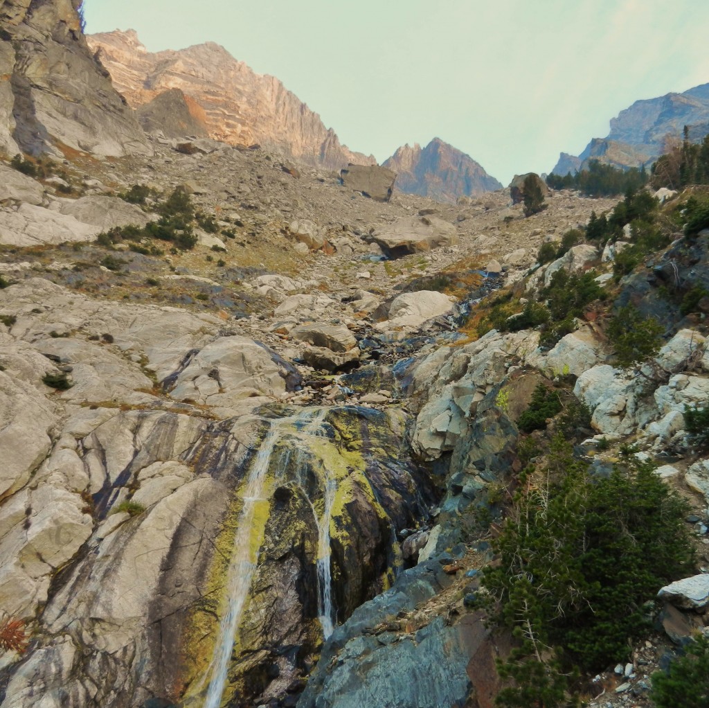
The South West Couloir becomes smaller and smaller, eventually squeezing you between large rock walls with short waterfalls to negotiate. We passed a few rappel anchors along the way, but did not need them because of the low water in the drainage. It would be a scary place with more water flowing.
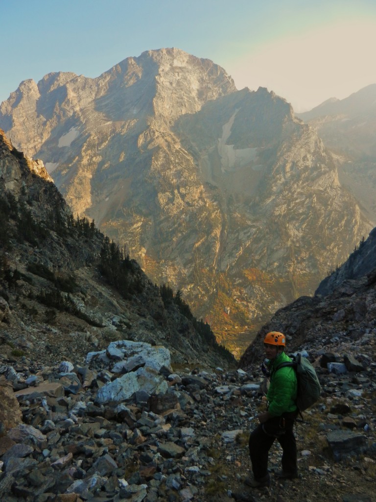
We arrived at the canyon bottom around dusk and started to walk through the woods. It became dark quick, and the trail became non existant. It became pretty desperate and laughable as we thrashed through a wild trailess Teton Canyon at night. We finally arrived at camp after a few hours of bushwhacking and began to drink scotch, eat dinner and drink Cakebread Cabernet.
Posted in Thor Peak SE Ridge
1 Comment
MT SHASTA AND MT MCLOUGHLIN
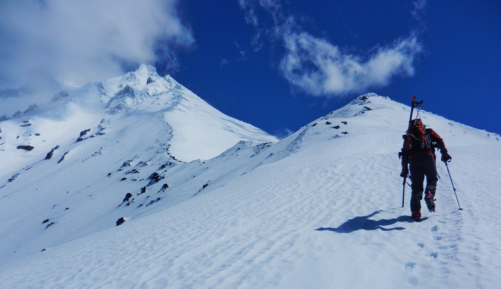
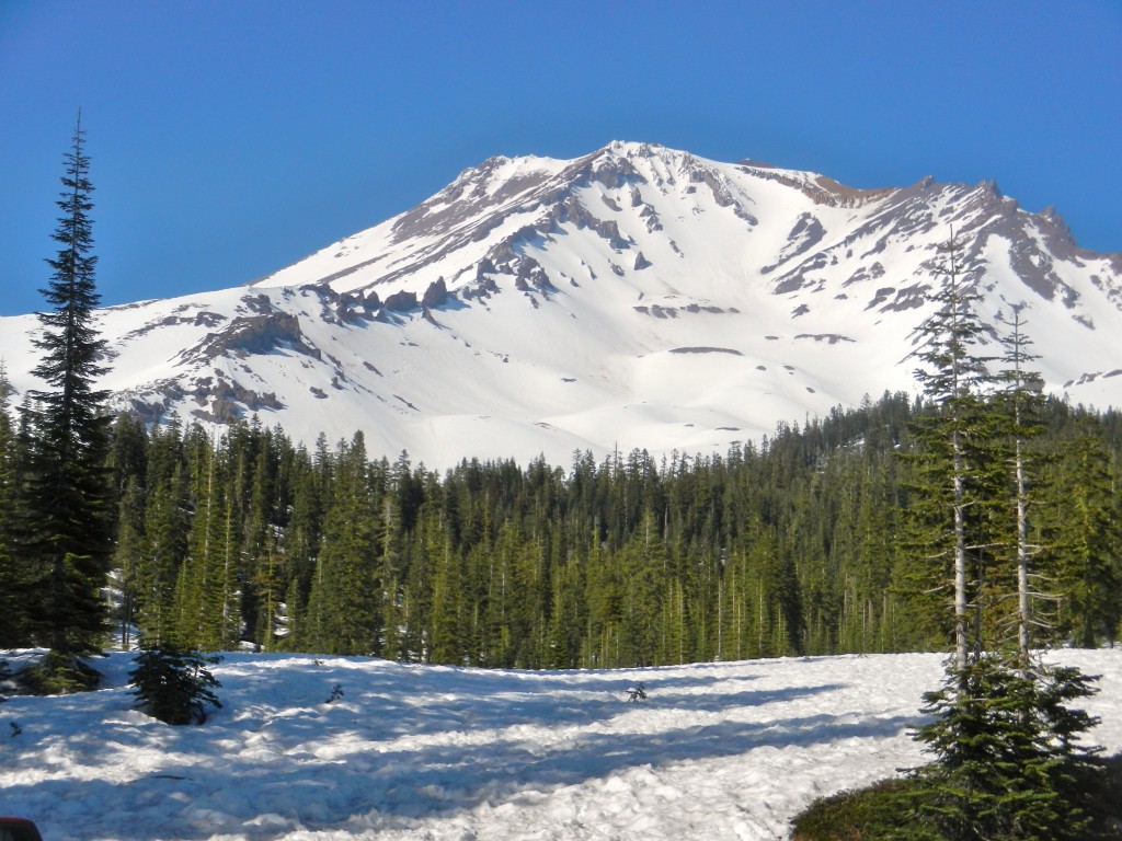
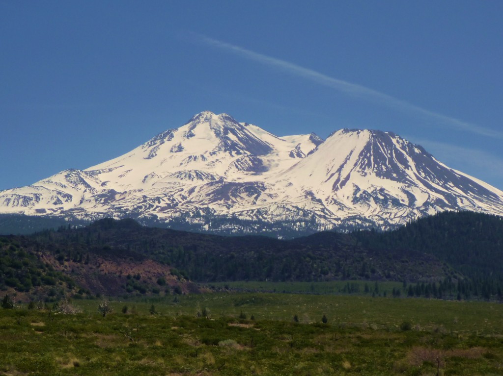
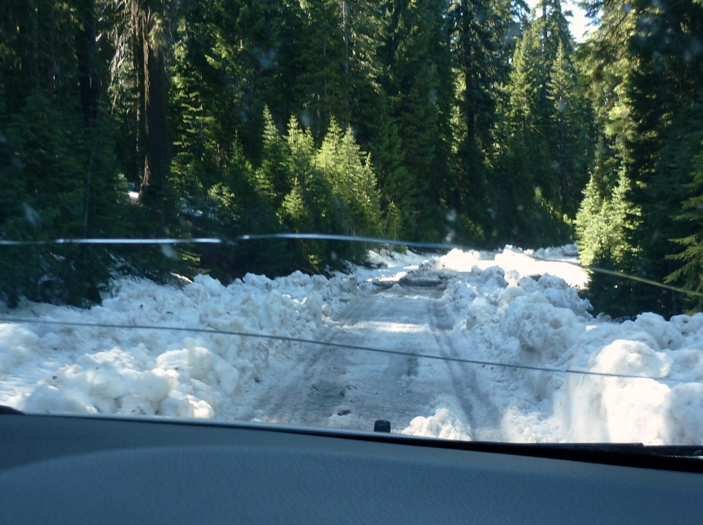
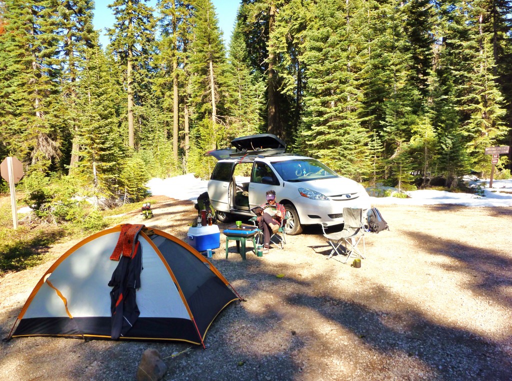
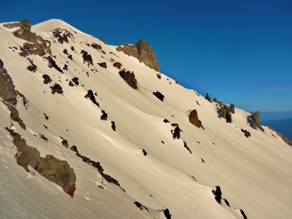
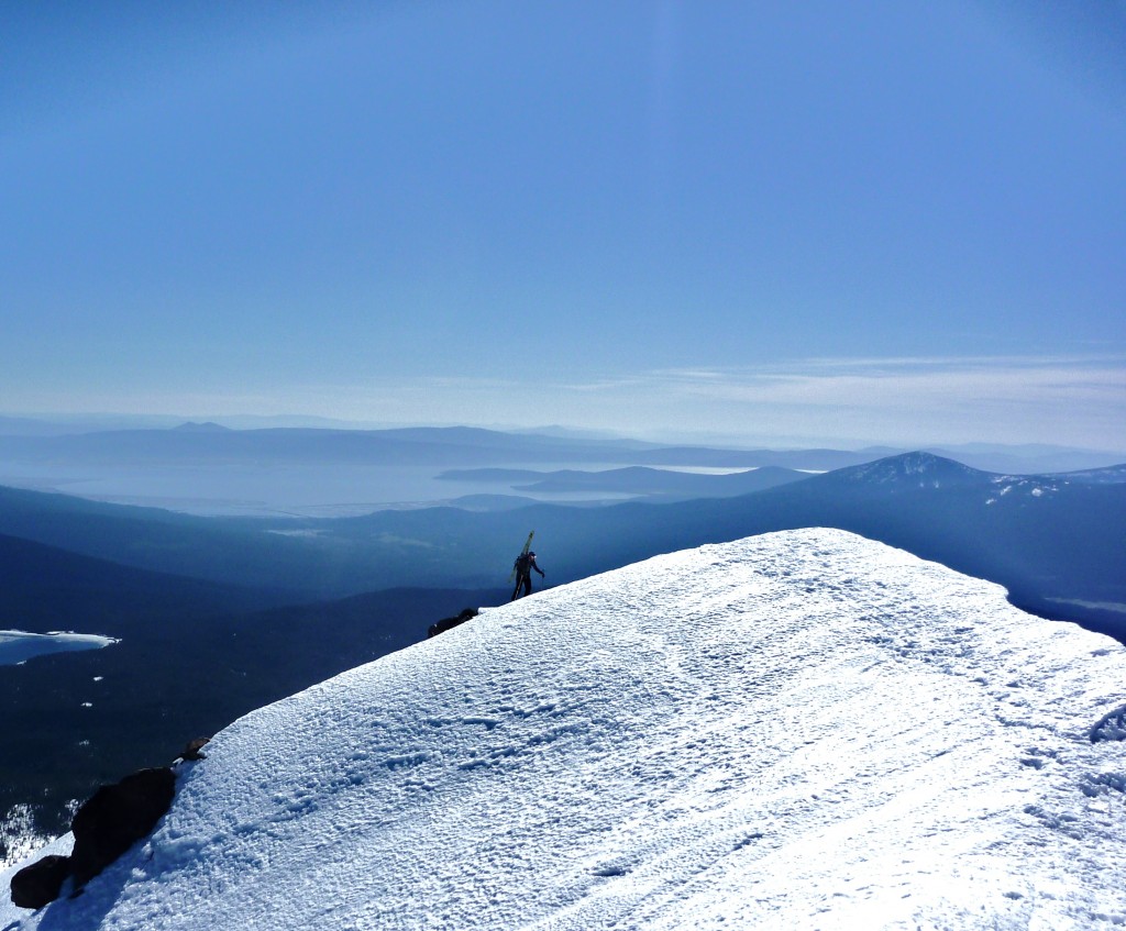
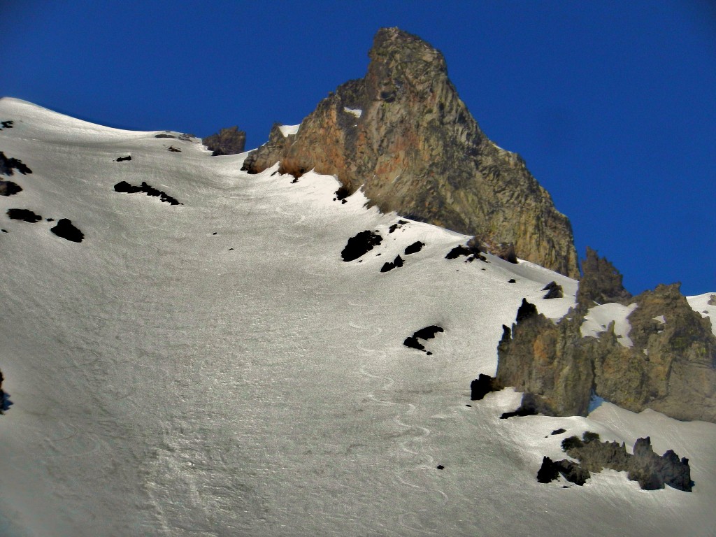
After skiing Lassen we headed to Mt Shasta. There were high winds fore casted for the morning, then to diminish as the day went on. We started around sunrise from the lot and made great time to the base of the head wall of Avalanche Gulch. Then it started to blow. Really hard. No clouds, just crazy windy. We got sandblasted and knocked over a few times. We decided to call it a day. With windy conditions it is dangerous on the up, and the skiing down would be a frozen coral reef. Not for us. We headed for Mt McLoughlin.
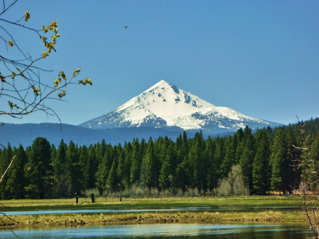
After the somewhat crowded Lassen and Shasta, we were looking for a little more solitude. Mcloughlin seemed to fit the bill.
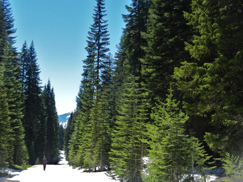
As we climbed the trail through the beautiful old growth forest we eventually got onto the east ridge of Mcloughlin.
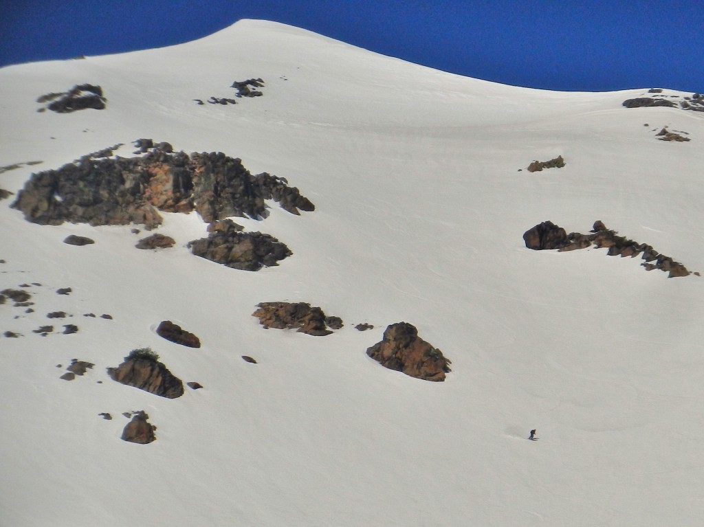
We had the peak to ourselves as we ripped the perfect corn on the steep NE Face.
We skied a little too far out to the north and wound up a few miles from where we started. We ran into some weekend folk.
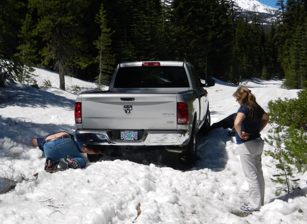
We helped for a bit then realized they were stuck for the long haul. The guy had no gloves or anything to dig. We walked up to him and he was digging with a stick. Darwin was in town.
Posted in Mt Shasta and Mt McLoughlin
Leave a comment
MT LASSEN
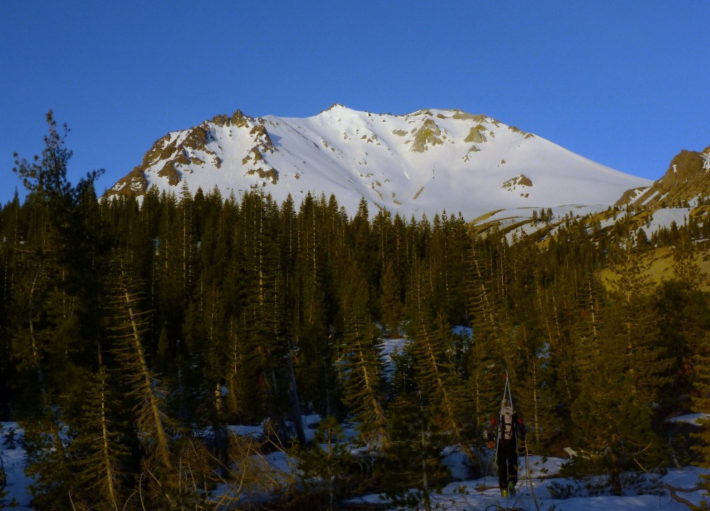
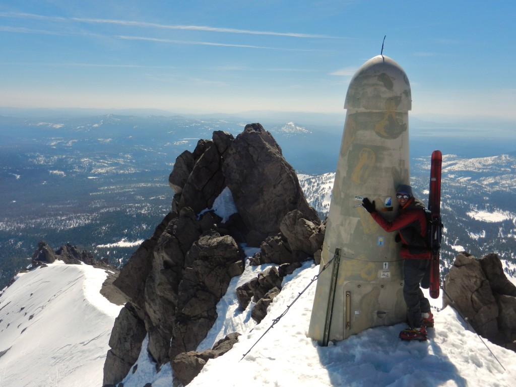
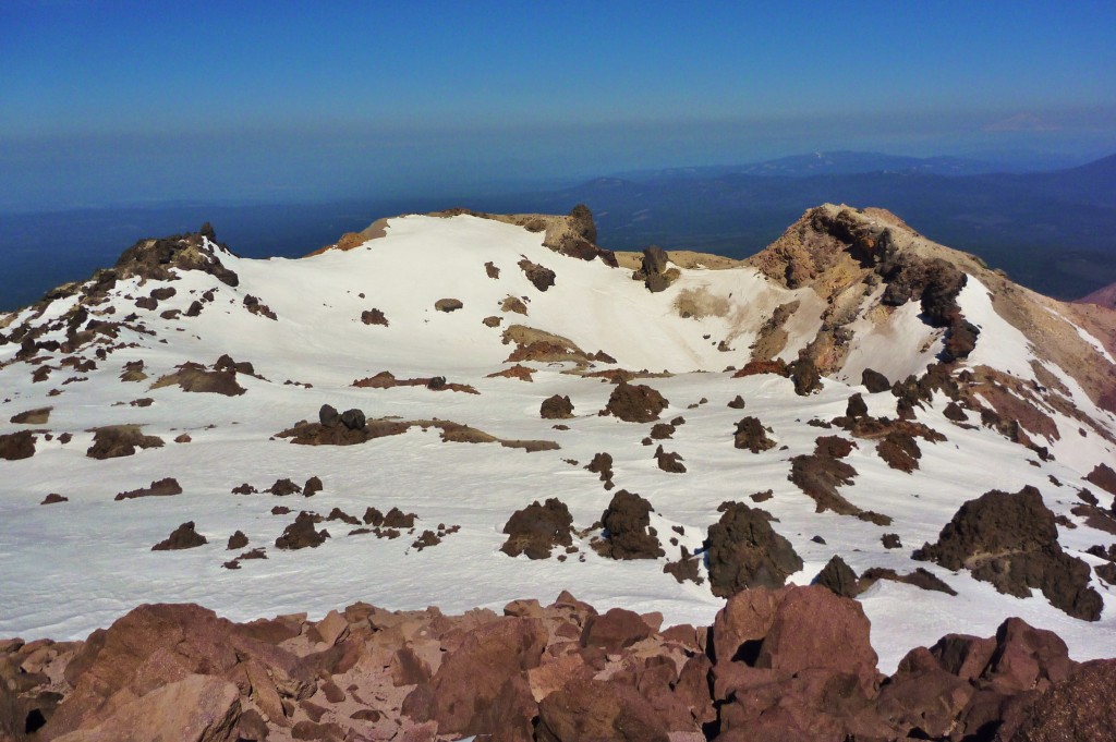
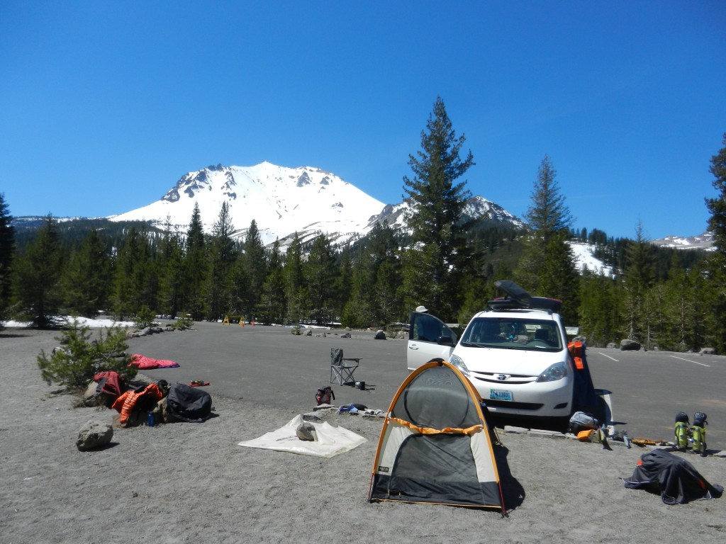
This is the first peak Kyle and I skied on our Volcano Tour of the Pacific Northwest. We drove 15 hours straight to the Lassen trailhead from Jackson. We were eager to get moving the next morning and started up from the lot.
The peak seemed popular as there were numerous old tracks and a few other parties on it that day.
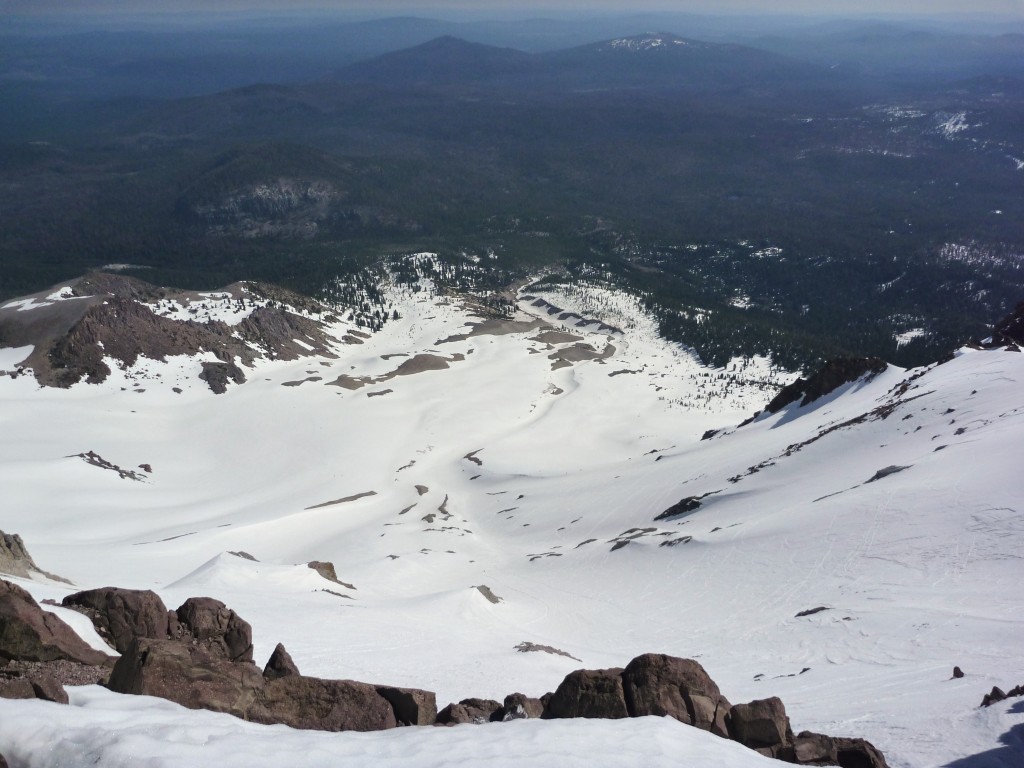
The wind was howling up top and the upper section was not corning up yet. We chattered down the top pitch and then transitioned into some beautiful corn for 2000 vert.
ROCKCUCK PEAK EAST FACE
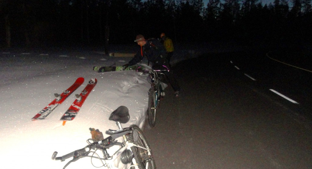
The lines out of the String Lake Trail-head have big, consistent vertical with no approach. The approach this time of year is by way of biking 5 miles on the plowed road. Then you go up. All 4200 vertical of Rockchuck Peak.
The snow was firm which allowed for efficient travel up the draw to the base of the East Face. Thank you ski crampons.
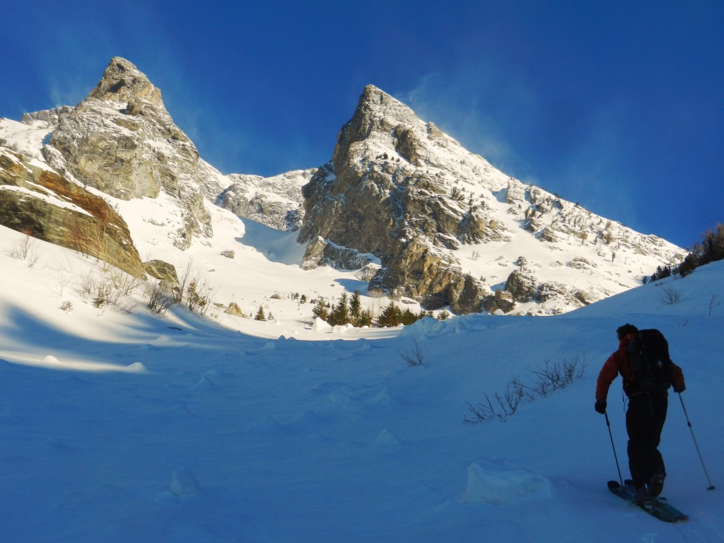
We gained the upper ridge after skinning up a steep north facing powder pitch. Then we just kept skinning up the ridge. Thank you ski crampons.
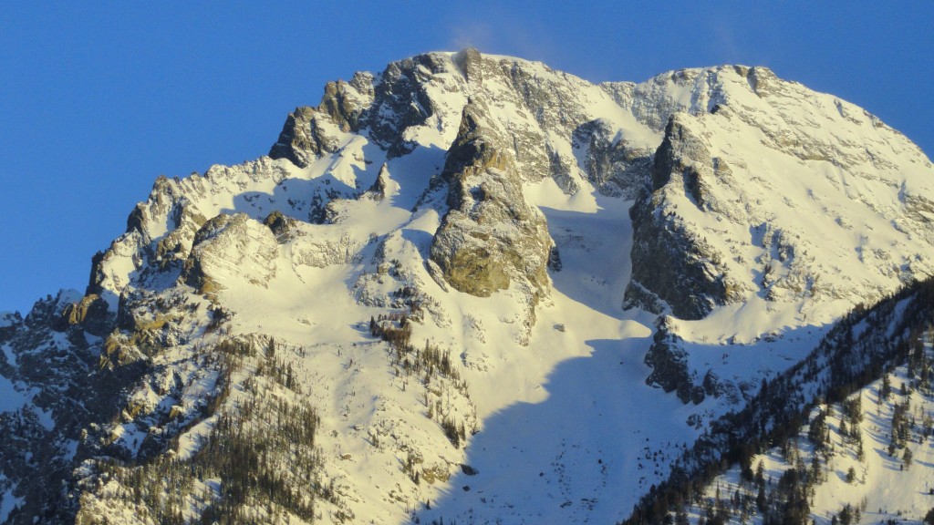
We arrived at the top of the East Face and were greeted to amazing views of the south sides of Woodring, Thor, and Moran.
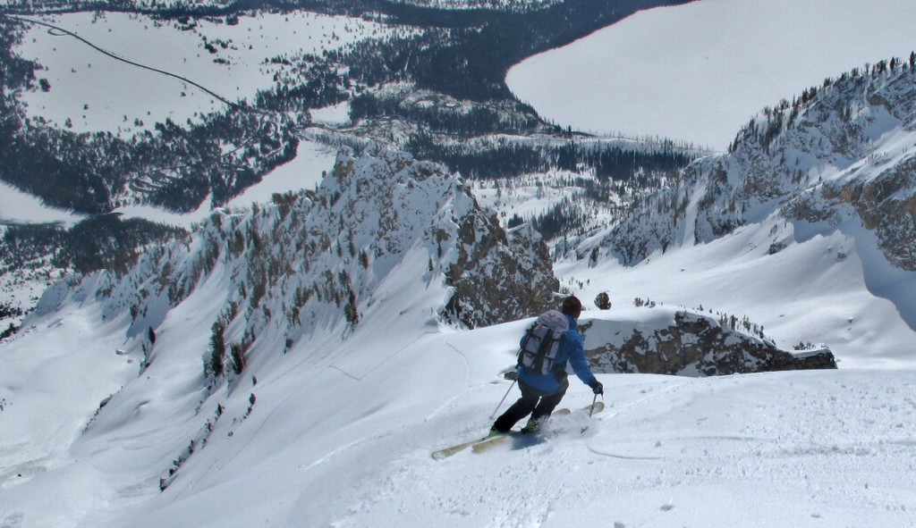
Our timing was perfect as we skied perfect, steep corn down the upper ridge.
We skied the upper ridge in perfect corn down to the north facing powder. It was good.
Awesome day with 4200 vertical feet of perfect conditions. Next…Volcano Tour 2013!
Posted in Rockchuck peak East Face
3 Comments
DRIZZLEPUSS SE FACE
This is a huge line that I’ve looked at for years. It is a solid, consistent 4700 vert. Its big. We approached with bikes from the Taggart Lake trail head at 5 am.
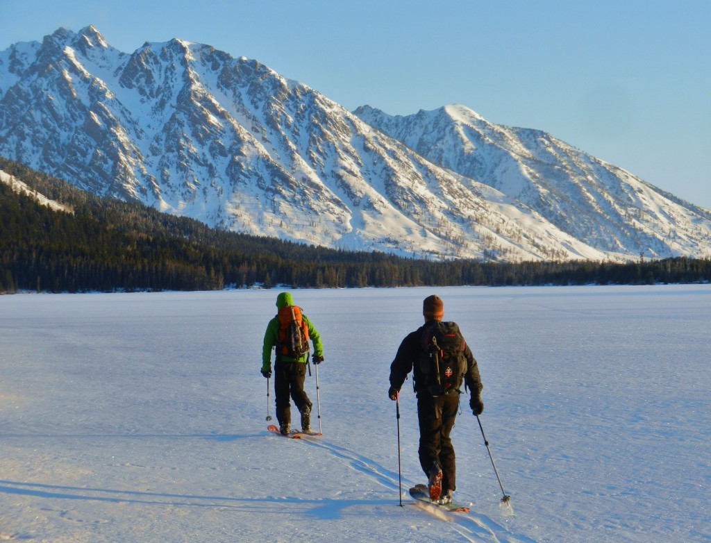
Leigh Lake was still in fine shape as we cruised across, and we soon found ourselves at the base of the huge south east side of Moran.
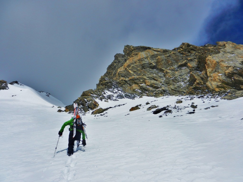
The gully at the bottom of the Falling Ice Glacier was filled in great as we skinned straight up it. We trended left up a treed slope that led to a small basin near the CMC camp.
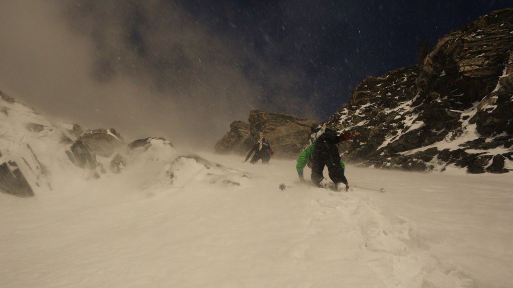
Here’s when it became a little slow going. Difficult skinning and booting with 40mph winds slowed us down a bit. It felt like winter.
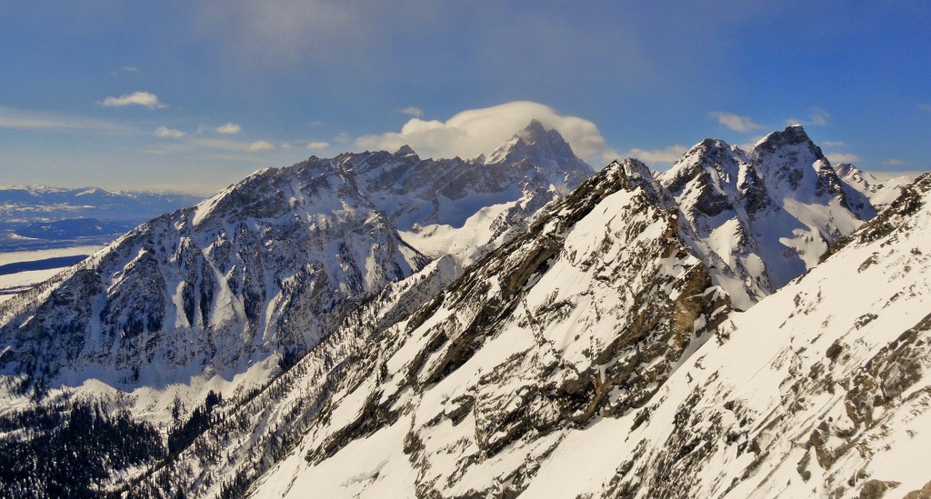
We kept plodding along and arrived at the Drizzlepuss summit (11,600) in clouds and wind. Views to the south were amazing with the Grand in the distance and the north side of Woodring front and center.
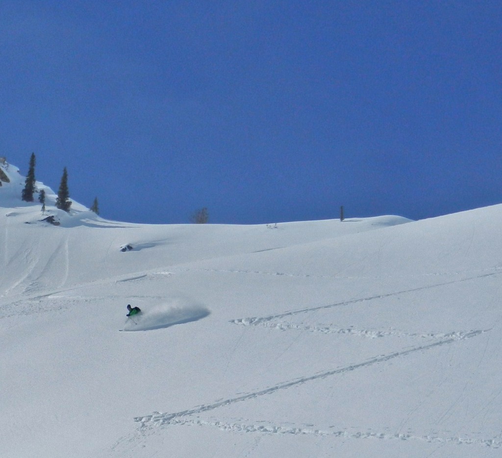
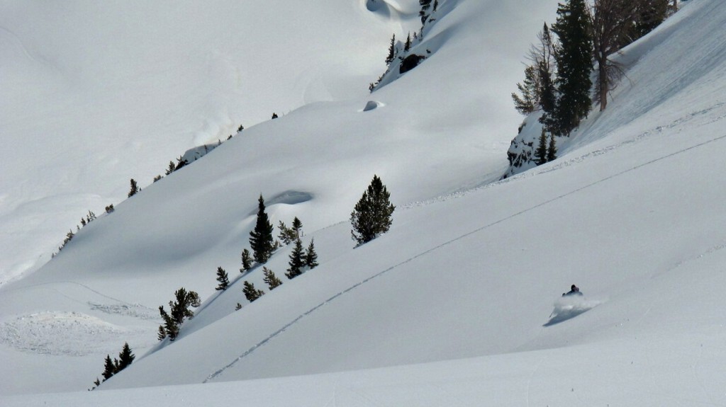
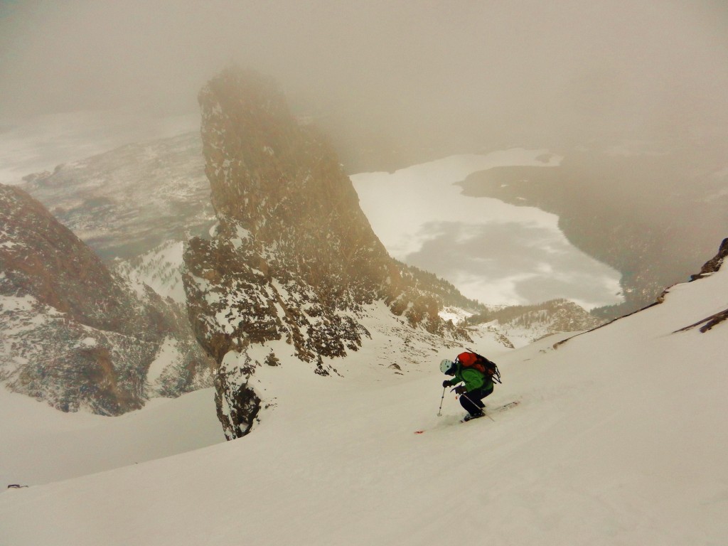
Disappointed that the CMC face was in the clouds we started our descent. The snow varied along the way with the higher elevations being pretty good windblown powder with some breakable to keep you honest.
The mid elevation trees skied well, but the foot of new snow was not consolidated and was affected by the warmth of the sun.
The lower elevation was also affected by the sun, but was smooth and consolidated corny cream cheese. I am really attracted to these huge lines. They feel so big and commiting on the up, as well as the down.
Posted in Drizzlepuss SE Face
1 Comment

