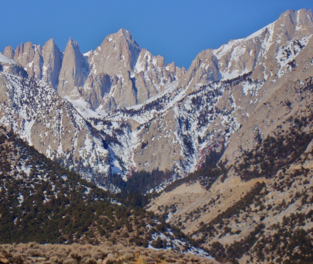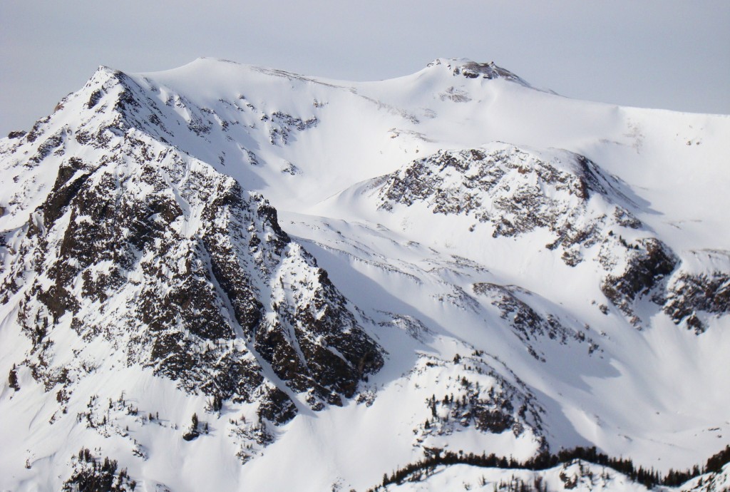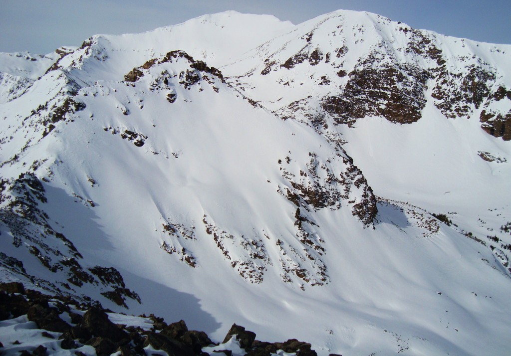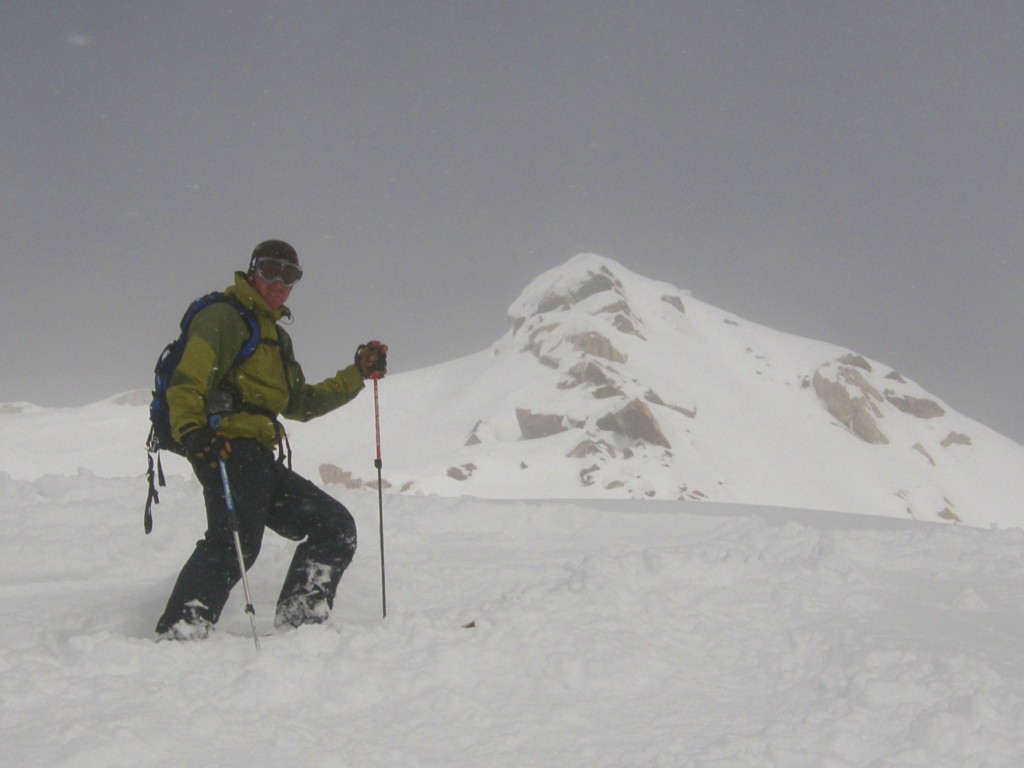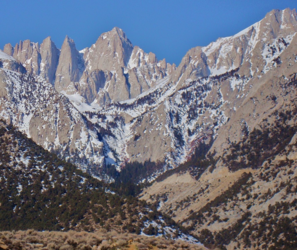
Mt Whitney from the Whitney Portal Rd
Mt Whitney is the highest peak in the lower 48 at 14,497. It is a very popular climb because of this. There is also a trail to the top coming from the south that is an easy walk up. The Mountaineers route is a little more challenging. There is a steep approach trail, some moderate snow climbing, and some easy 4th class terrain above some exposure. The day started on the Whitney Portal Rd about a mile and half from the summer trail head. There was a descent size wet slide that covered the road preventing any futher travel.
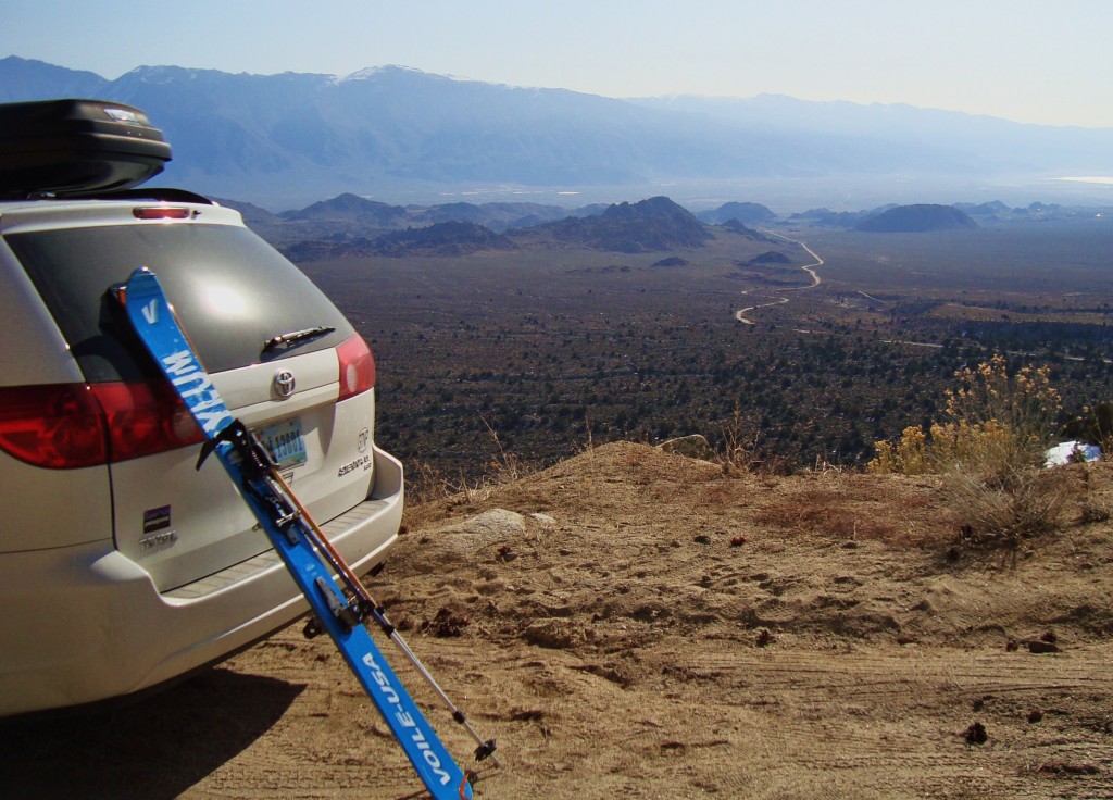
The desert start to climb Mt Whitney
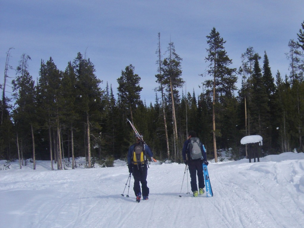
I started with a little skinning on the snow covered road until it turned south facing and was dry for a little walking past some good size rock fall.
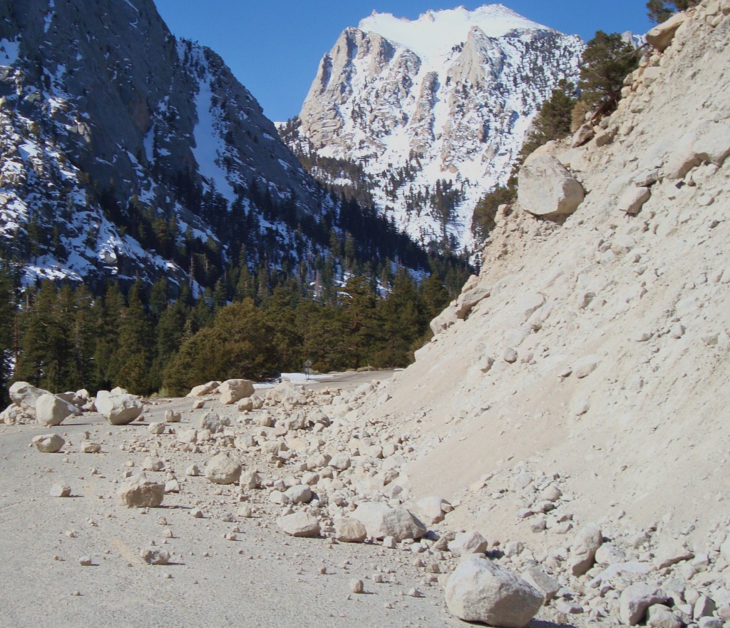
Probably the most dangerous part of the climb
I made my way to the summer trail head and veered of into the north fork of lone pine creek to access the east face of Whitney and the Mountaineers Route.
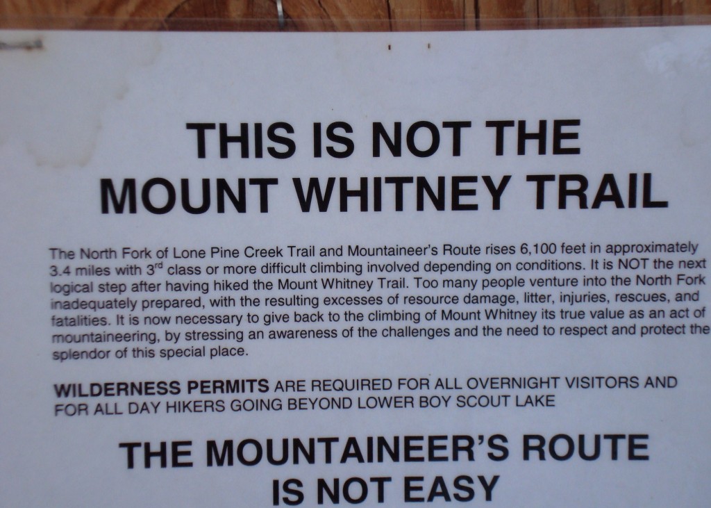
Not a typo 6100 vertical in 3.4 miles
This was where the skinning became steep and difficult. There had been a lot of climbers up the trail over the weekend and it was a slick post holed mess of a snowshoe track, not the most ideal conditions for skinning. I gritted it out on the “skin track” and made it up into the lower boyscout lake basin to my camp for the night.
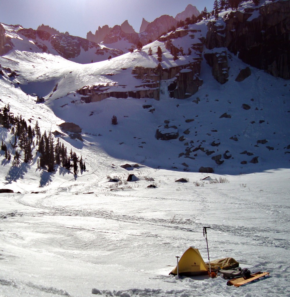
Lower Boy Scout Lake camp
I got to camp pretty early in the day and had some nice chill time in the sun and even a little nap. I just wanted to rest for the big day I had ahead of me. I cooked some dinner, and chatted with a few skiers coming off the route, it didn’t sound like ideal conditions.
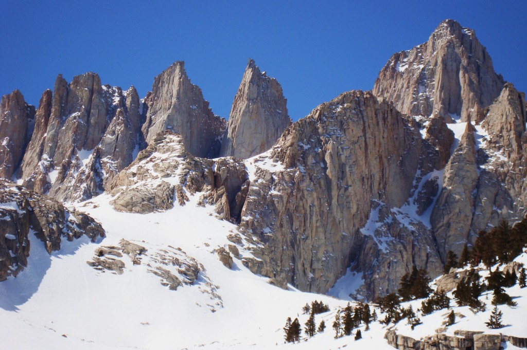
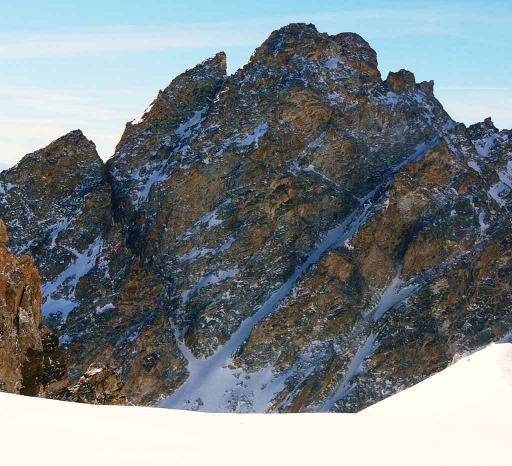
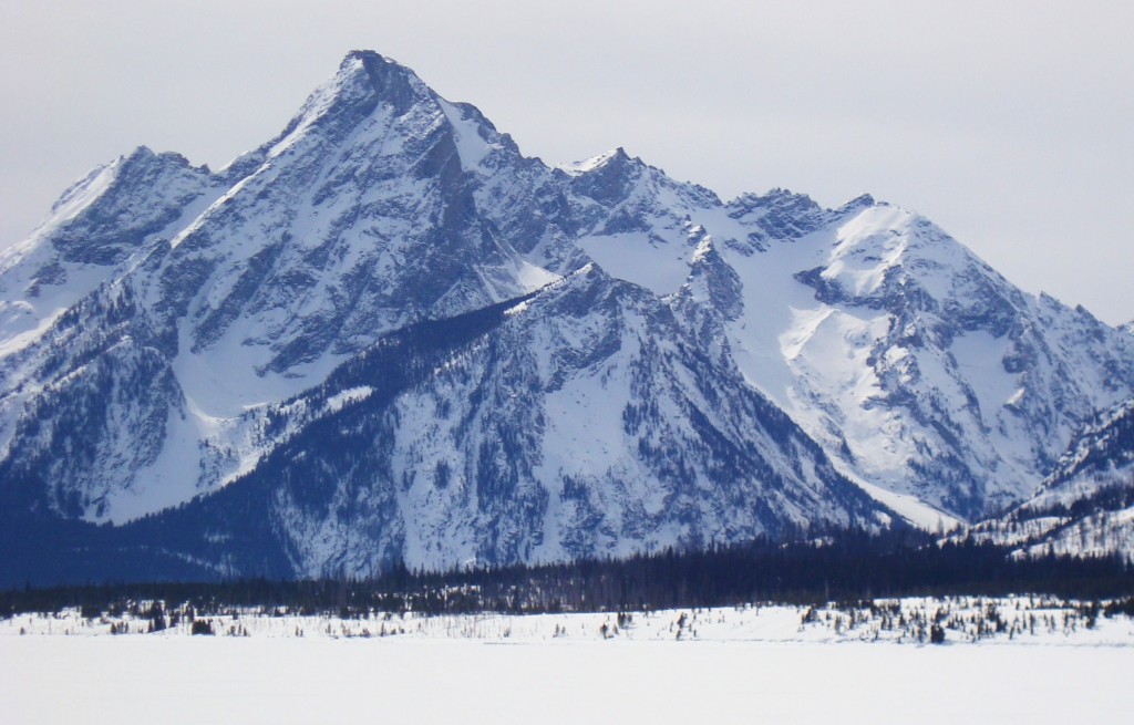
Nice views of the objective from camp
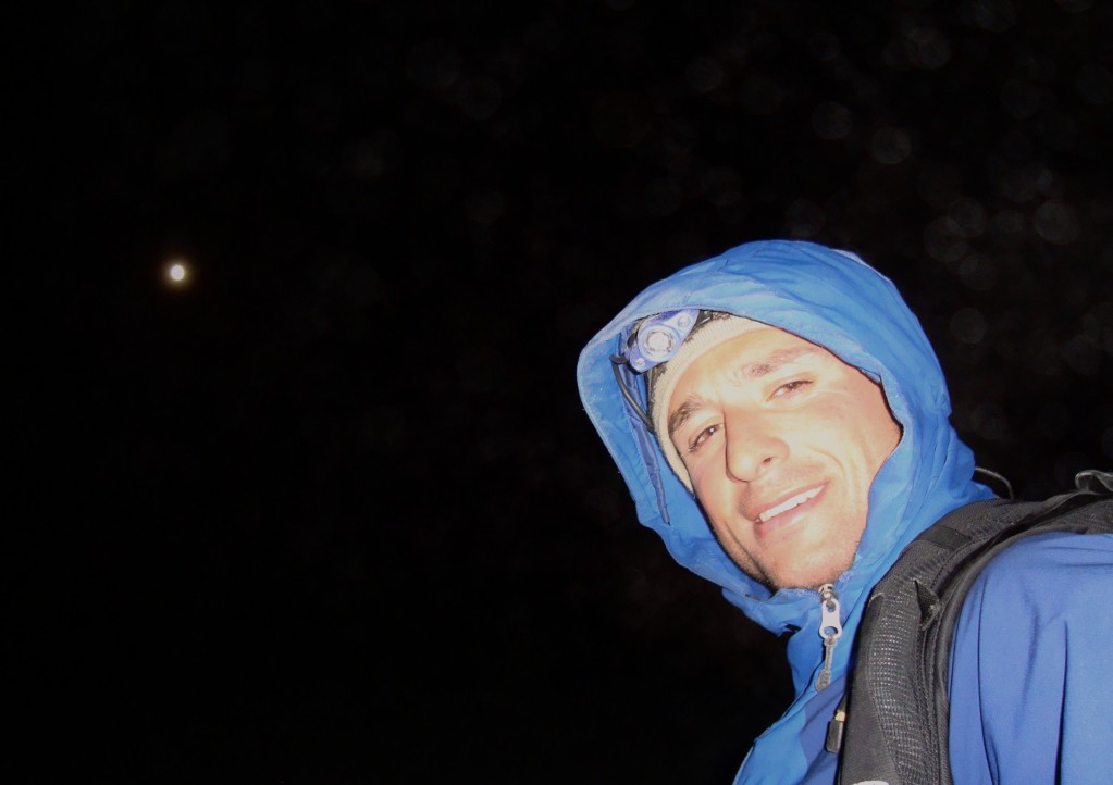
It was a pretty cold night for California, and was glad I had my -20 deg bag. Pretty cold morning and I was a little slow moving until the sun hit my body, then left camp for the summit at 9 a.m, not exactly an alpine start. No big deal, I had the whole day to climb, ski down, pack up camp, and drive back to Mammoth Lakes.
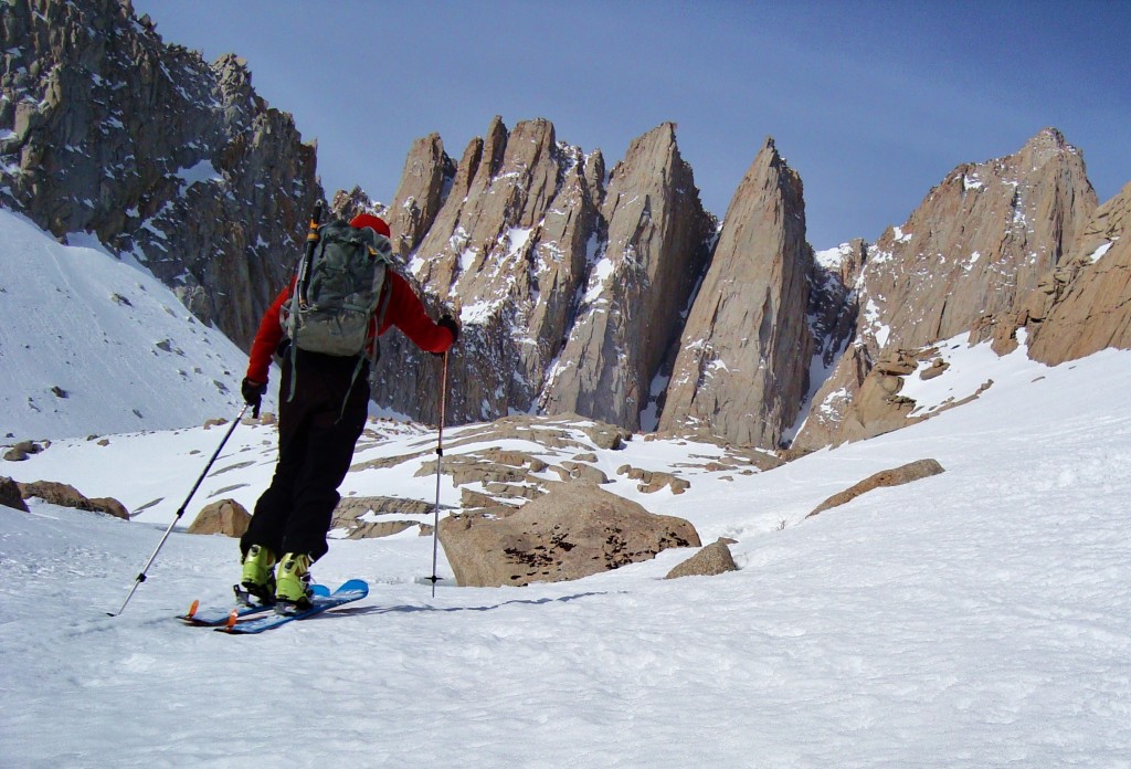
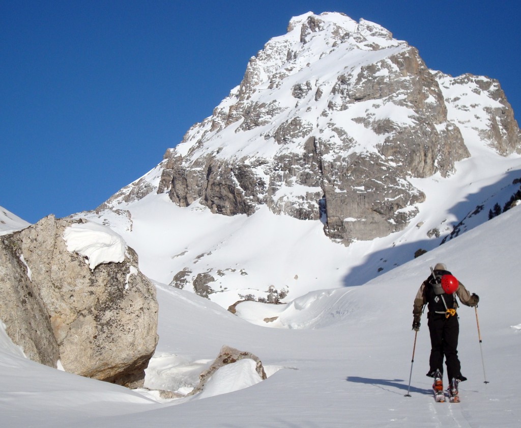
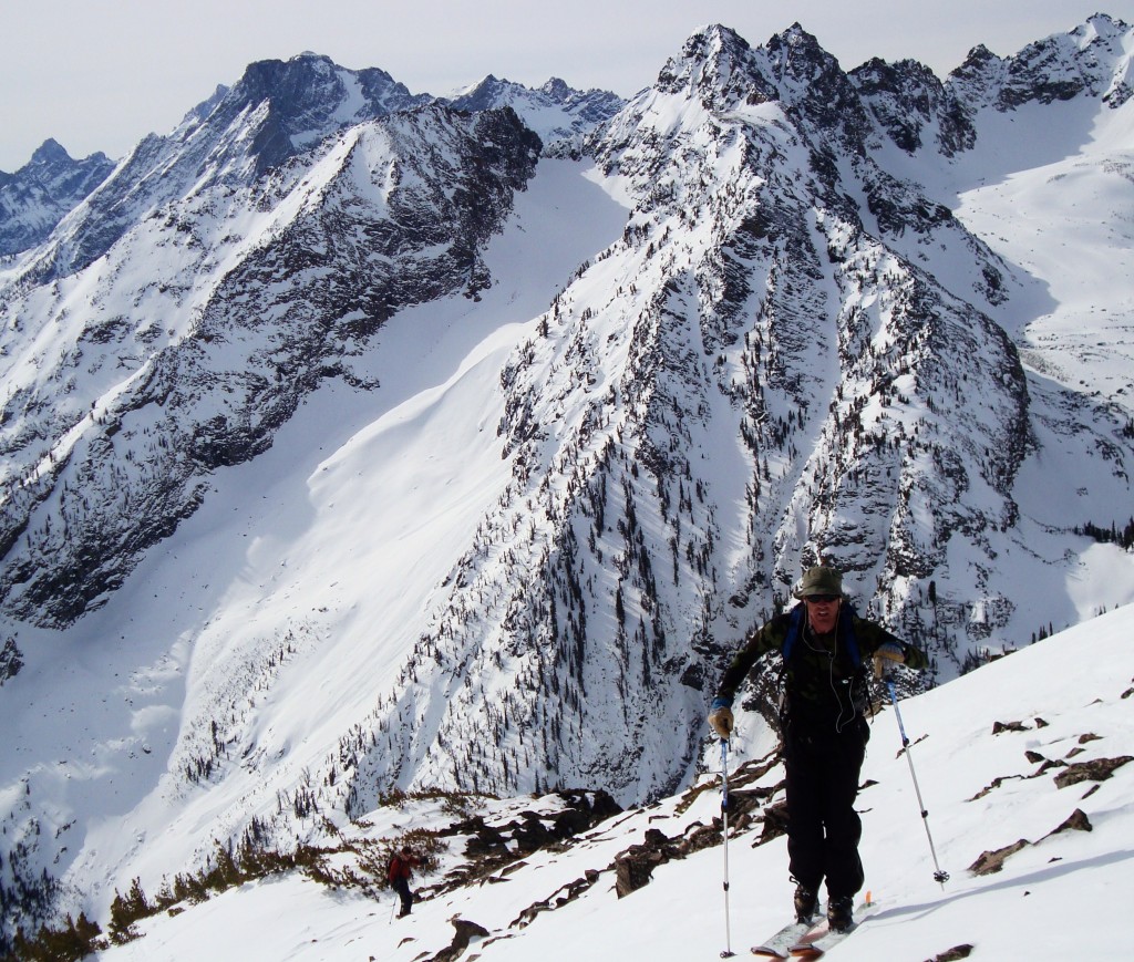
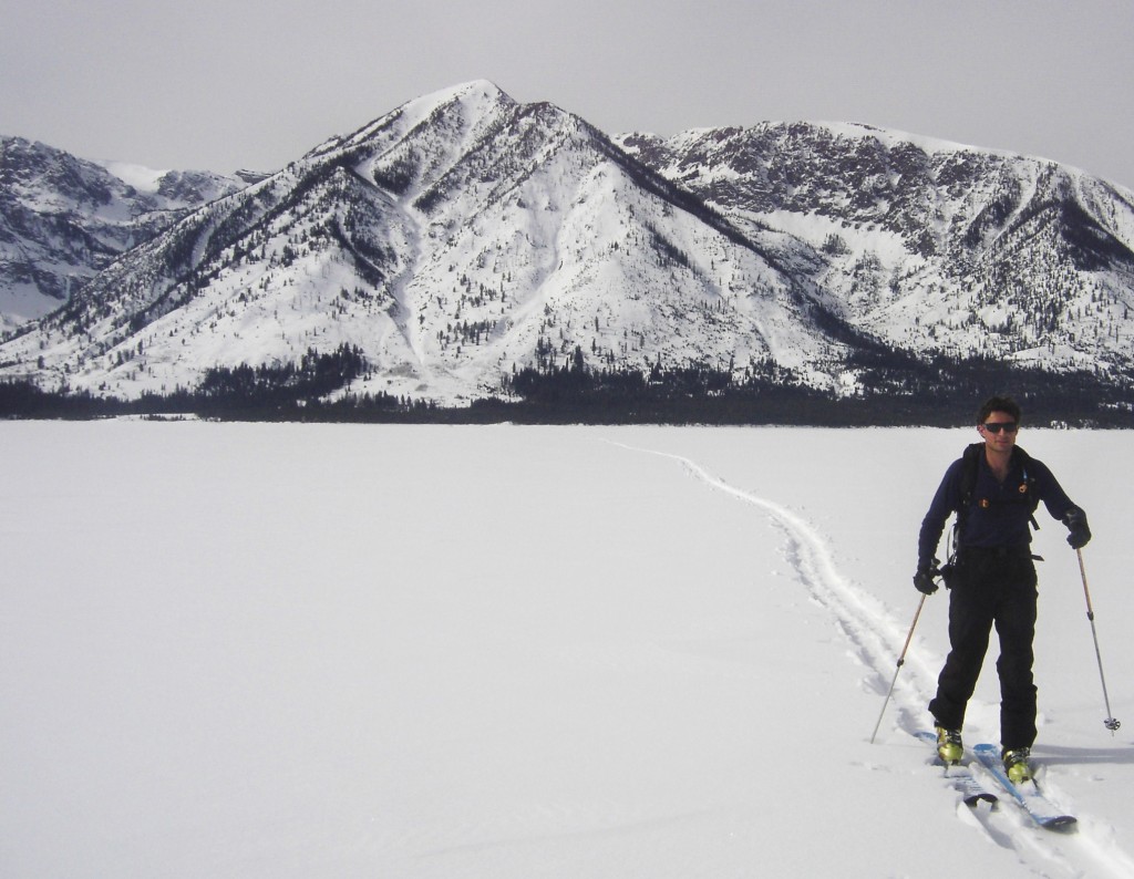
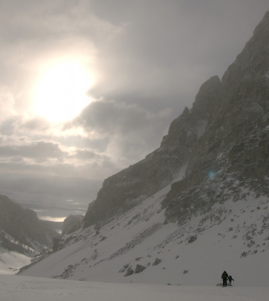
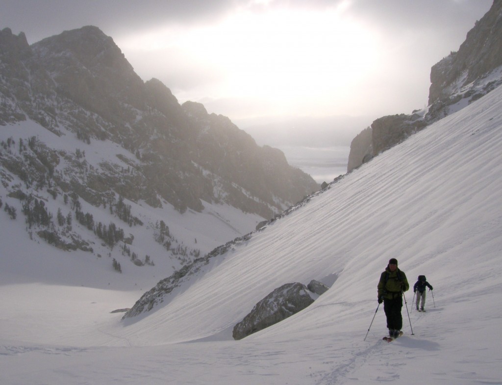
Skinning below the Keeler Needles on Mt Whitney
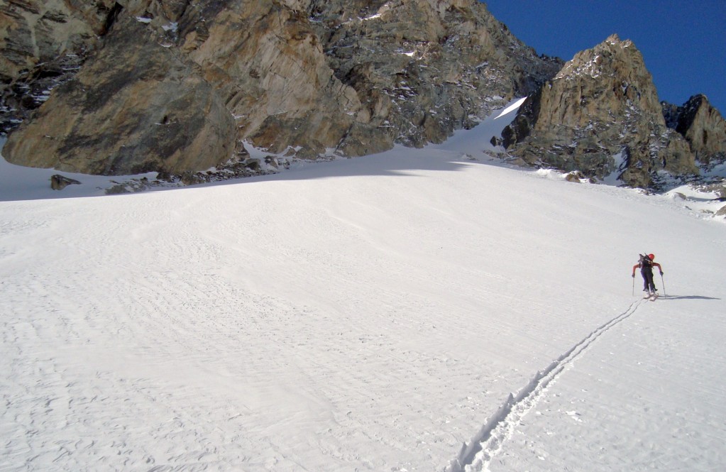
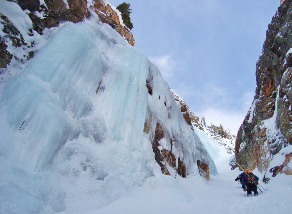
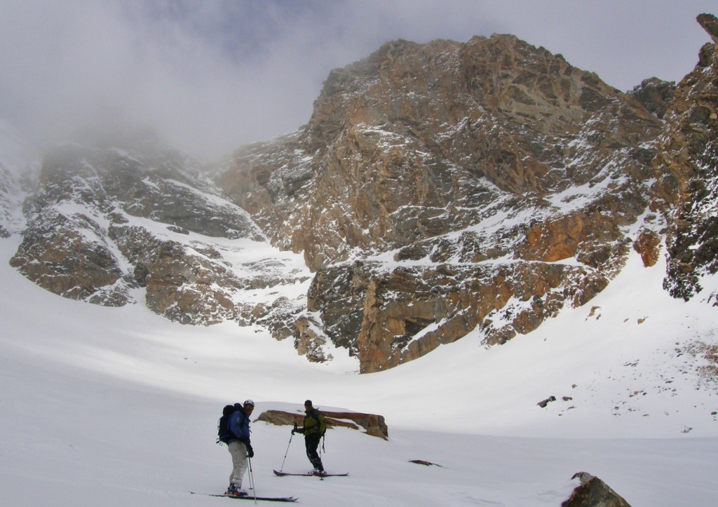
It was pretty good skinning conditions up from Lower Boy Scout Lake, to Upper, then on to Iceberg Lake below the Mountaineers Gully at 12,300. Now only a few thousand vertical to climb in the couloir, then the steep upper couloir to the summit plateau.
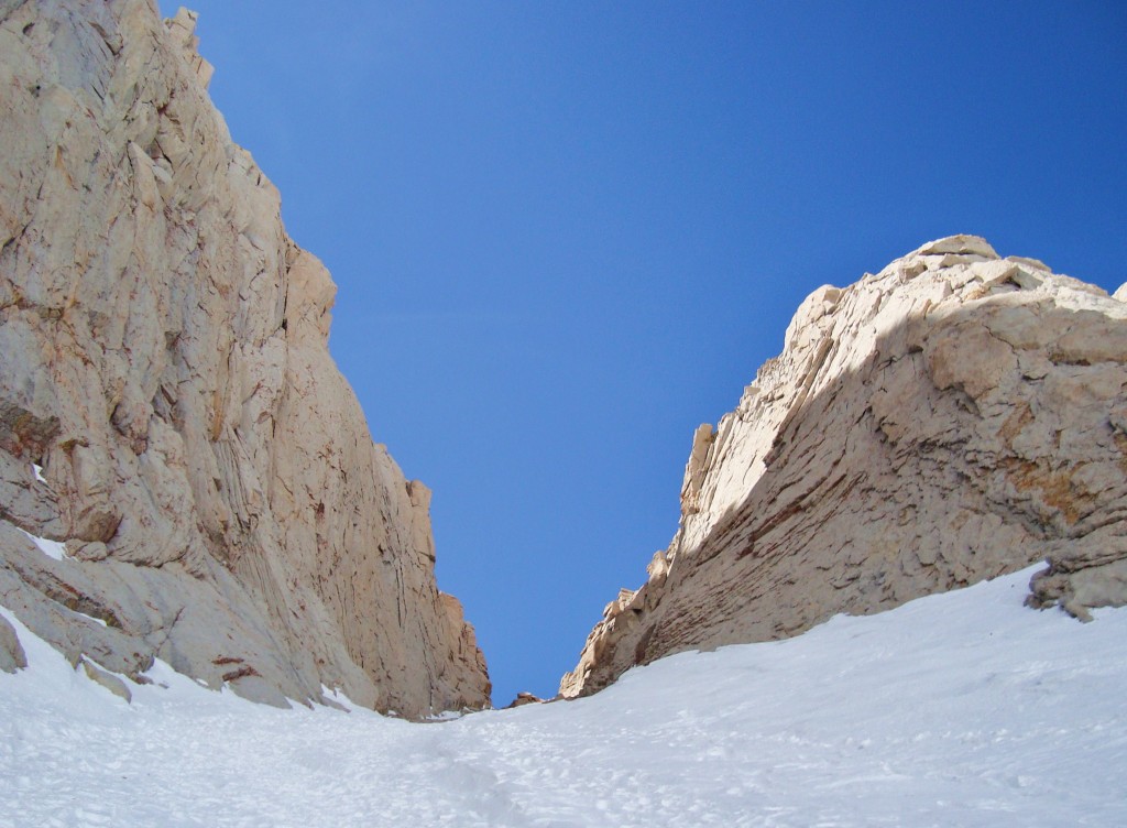
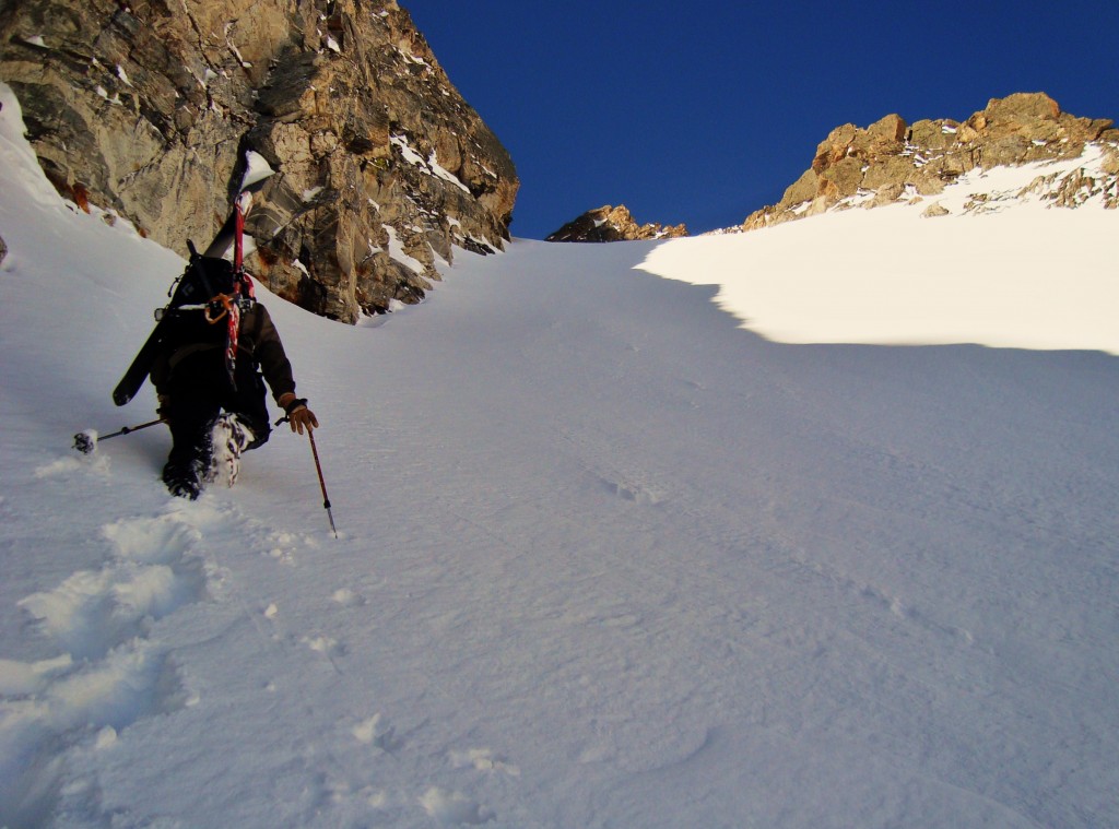
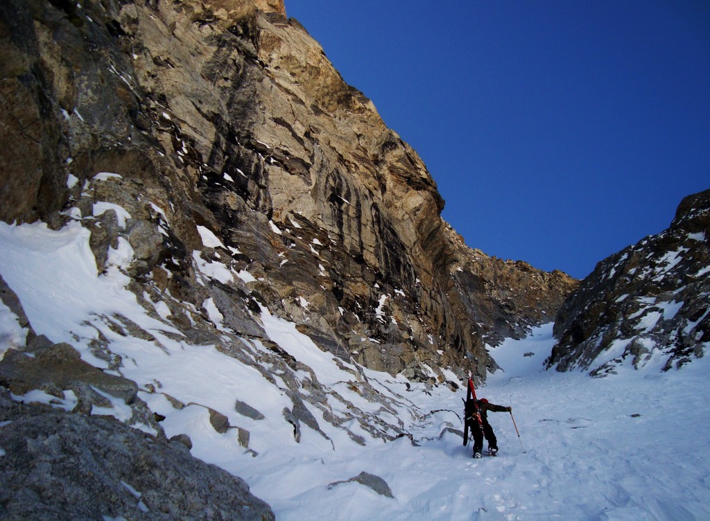
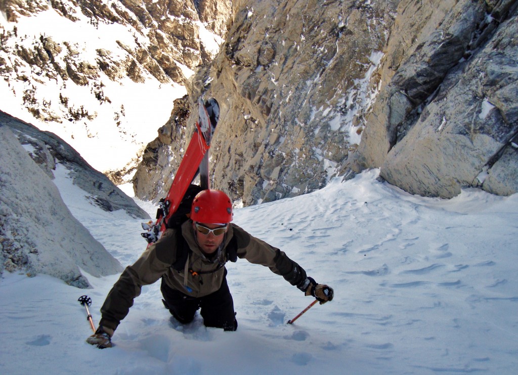
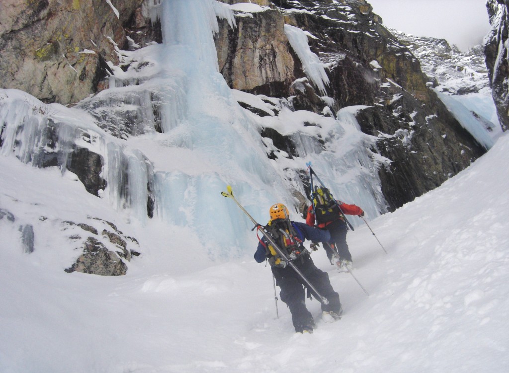
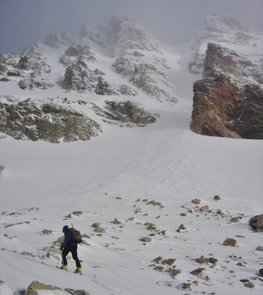
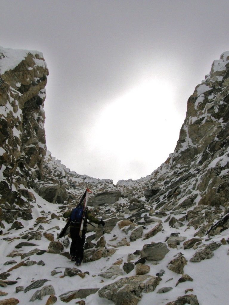
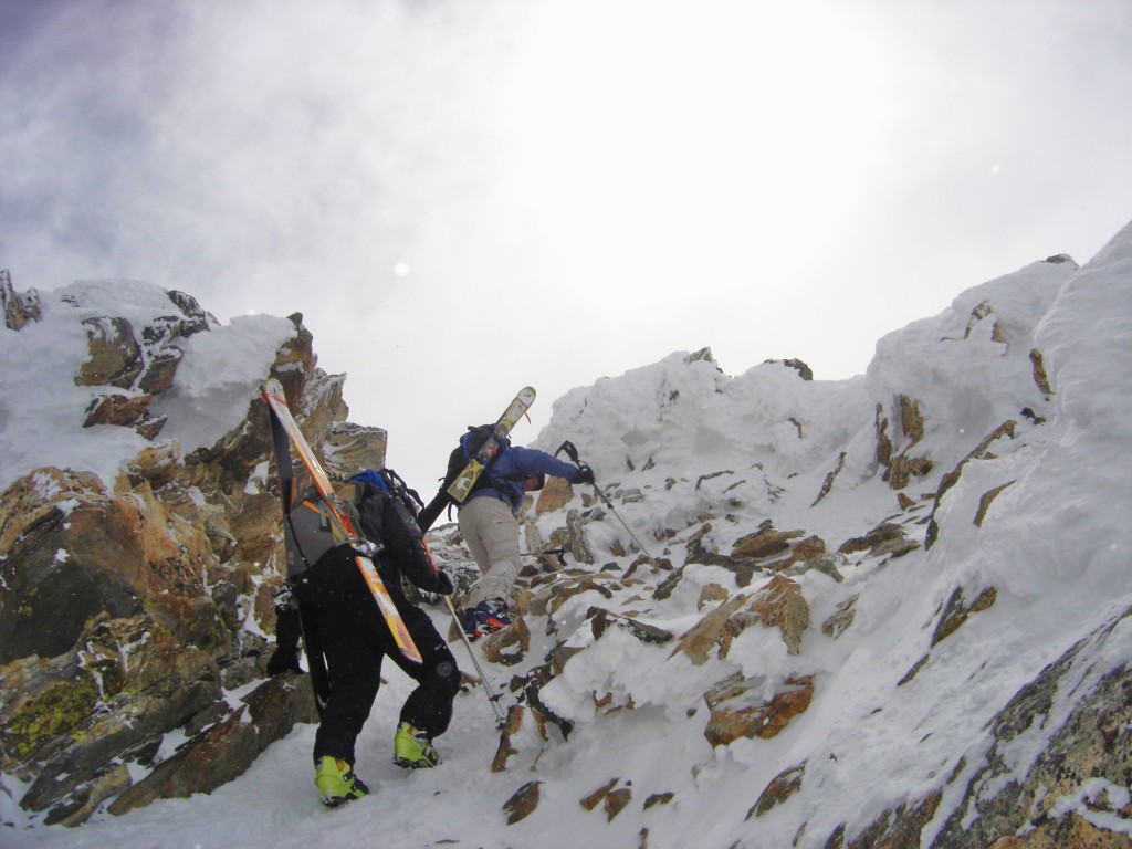
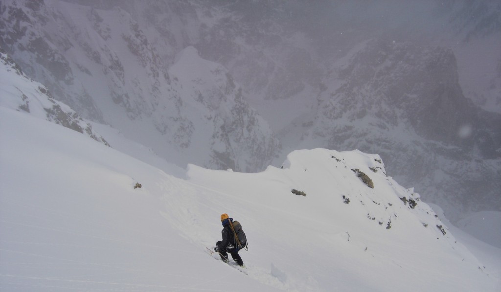
Nearing the top of the Mountaineers Gully
The snow stopped in the gully a hundred yards from the top, and I left my skis here to start the descent, and continued on to the summit. From the top of the gully there is a notch which gives you access to the final steep couloir to the summit.
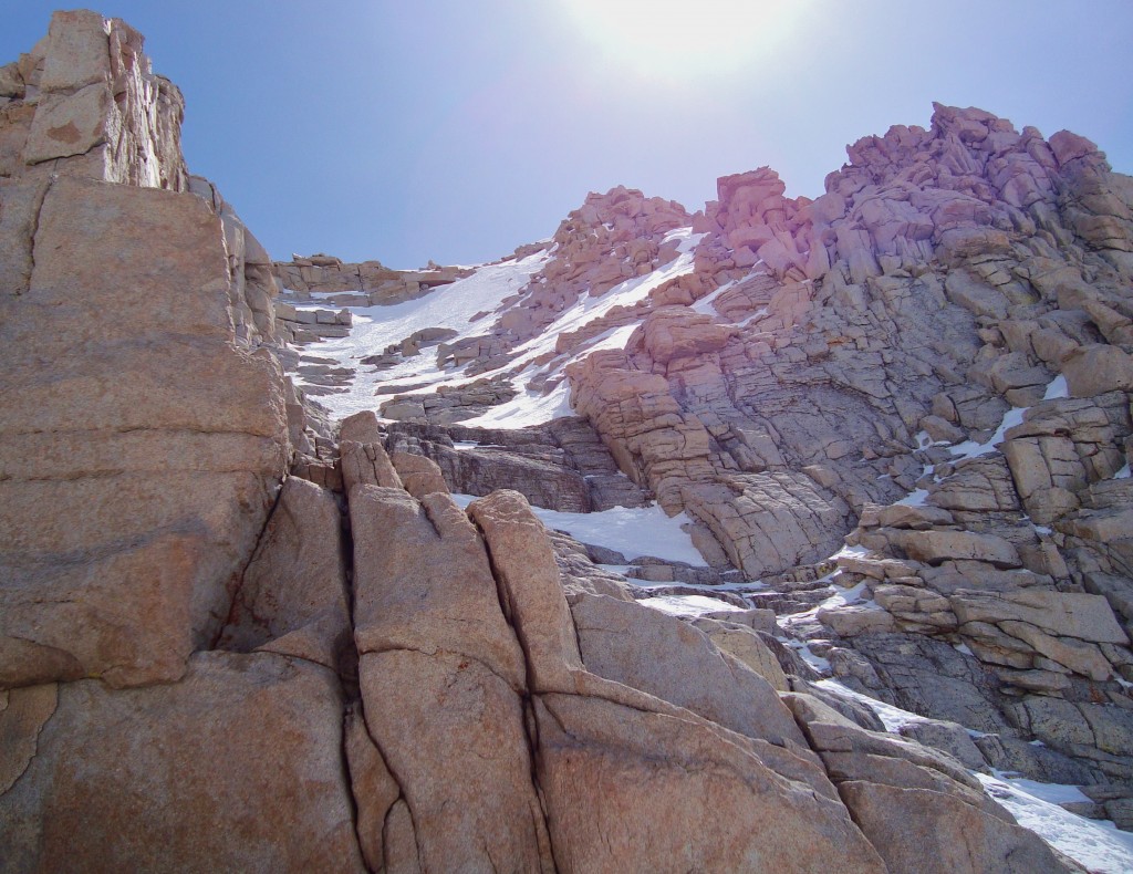
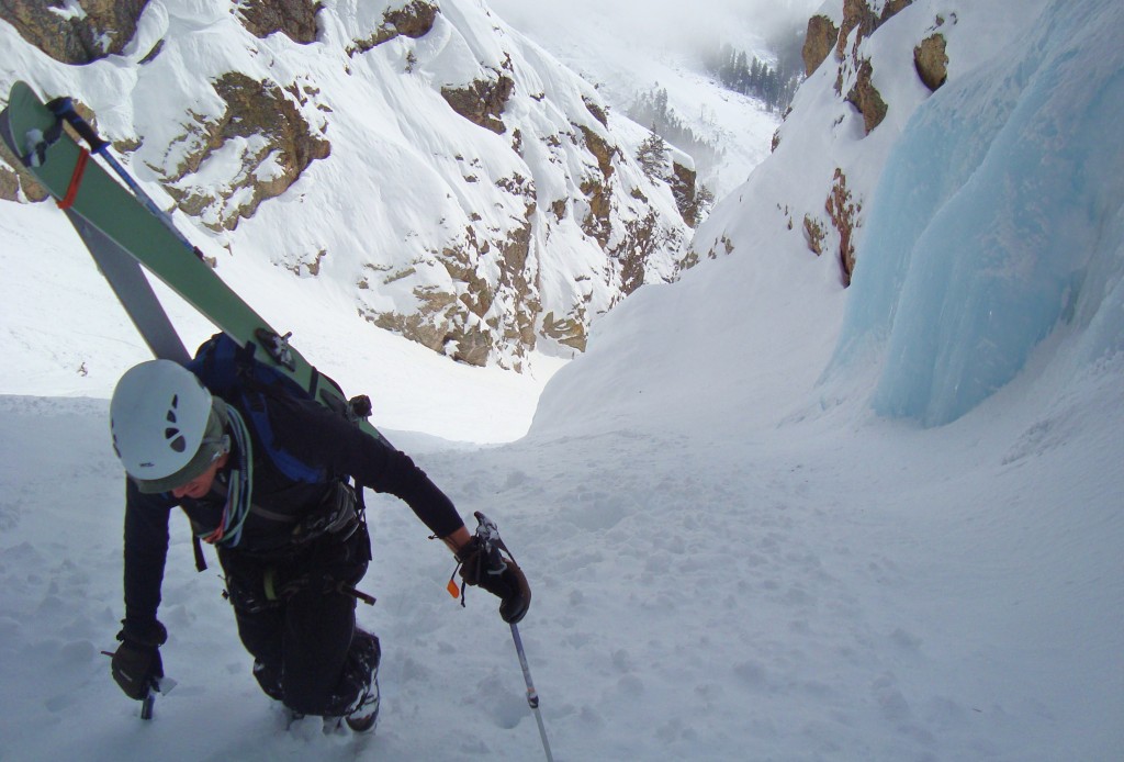
The steep upper couloir before the summit.
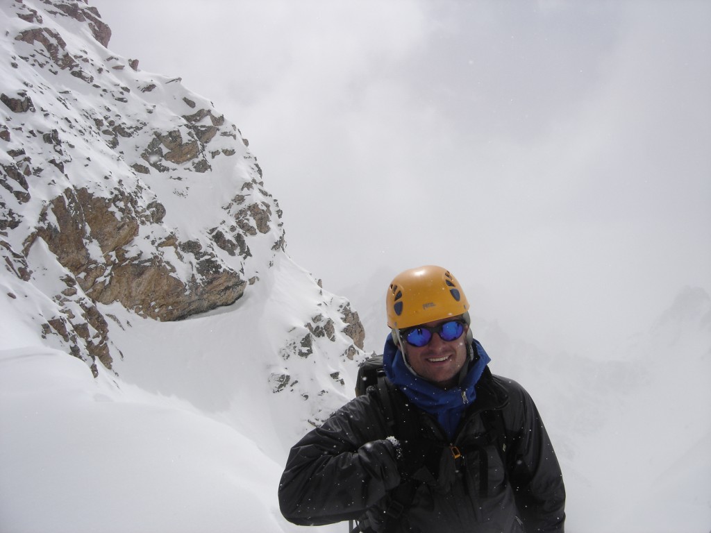
This was the section I was concerned about. Apparently it can get pretty icy, with some 4th class rock mixed in, and a 2000 foot slide for life down the north face to discourage falling. Lucky for me it was mostly just steep snow with one little class 4 rock step. I continued up the upper couloir, and was on the summit plateau.
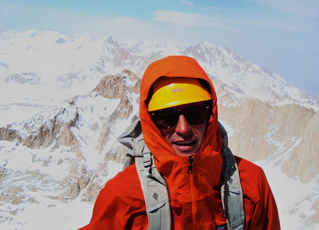
On top of the upper couloir
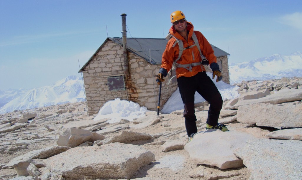
A 10 minute walk along the football field sized plateau, and I arrived at the true summit.
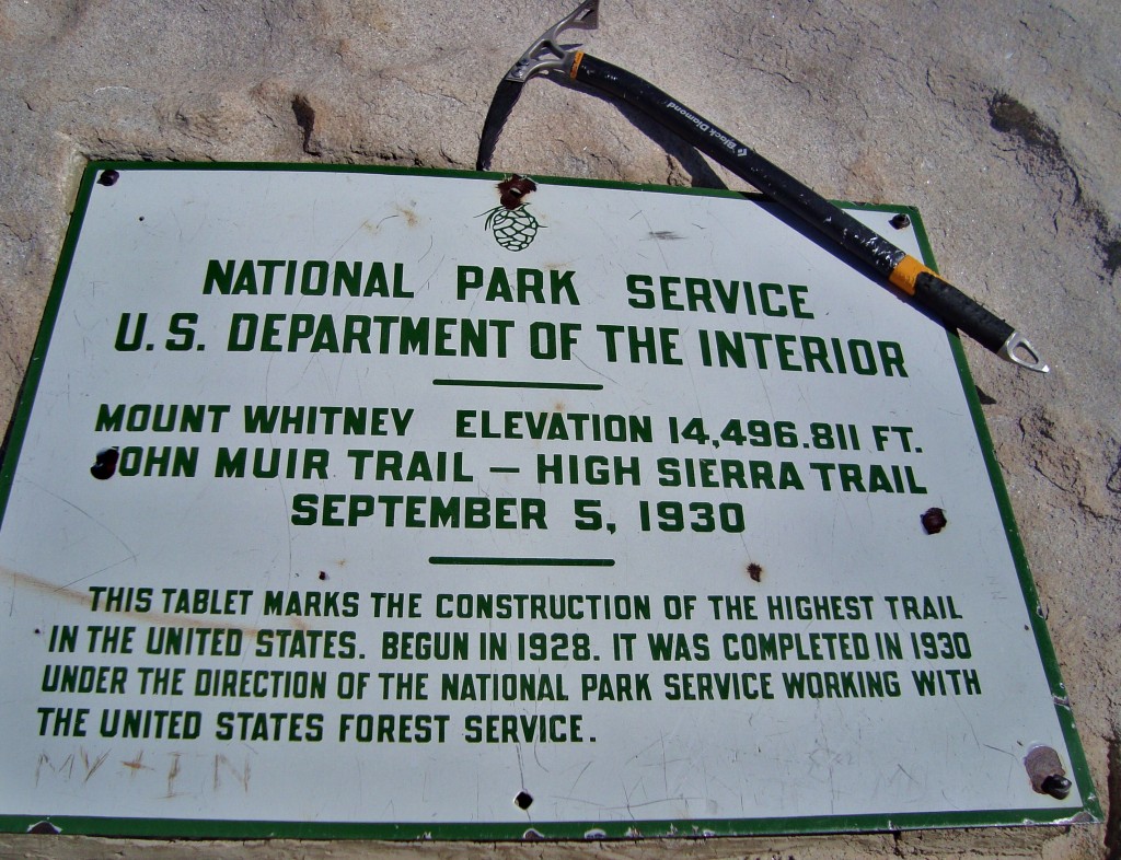
Summit
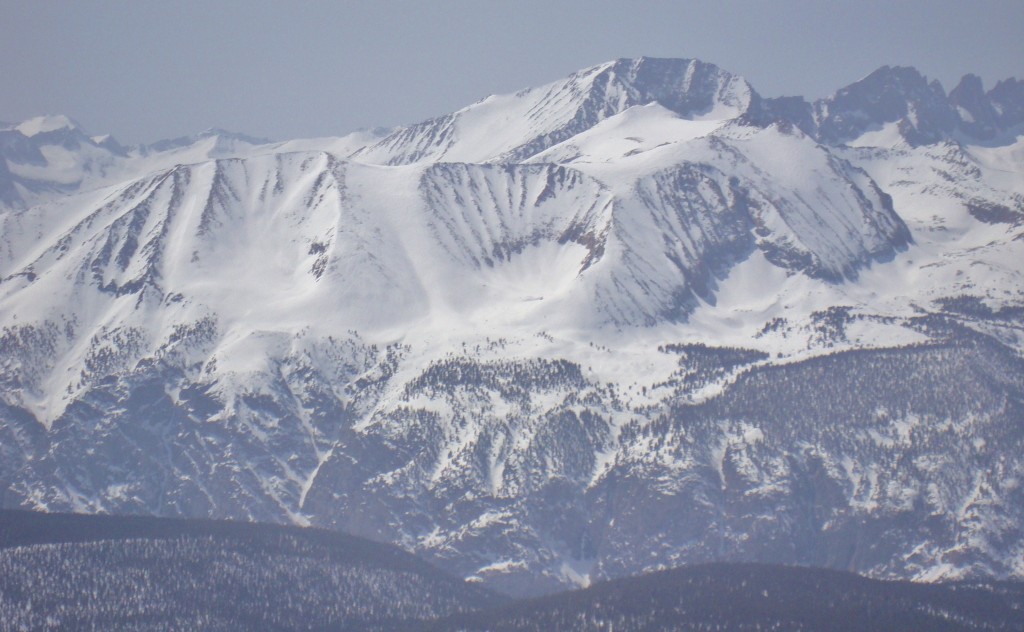
Keweah group of mountains
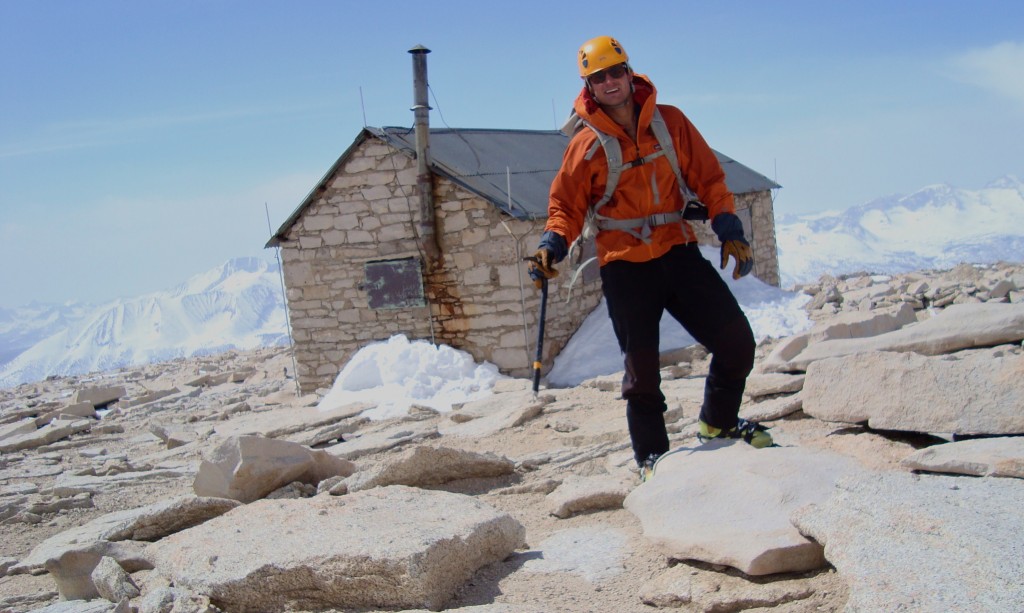
Roof of the lower 48
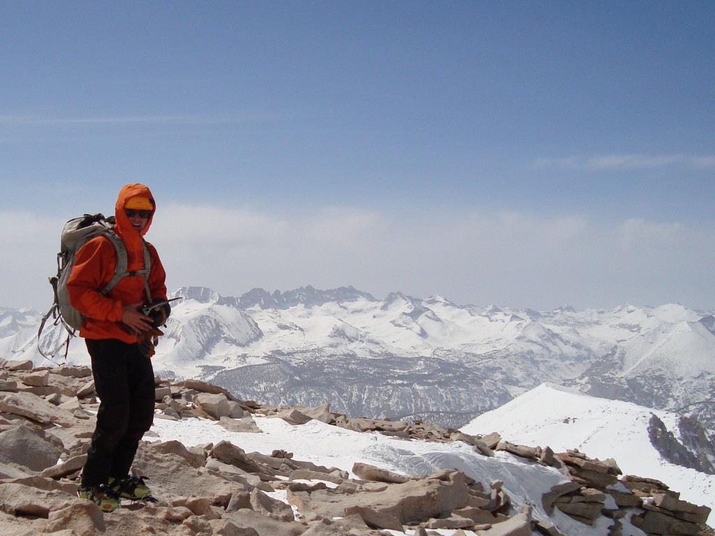
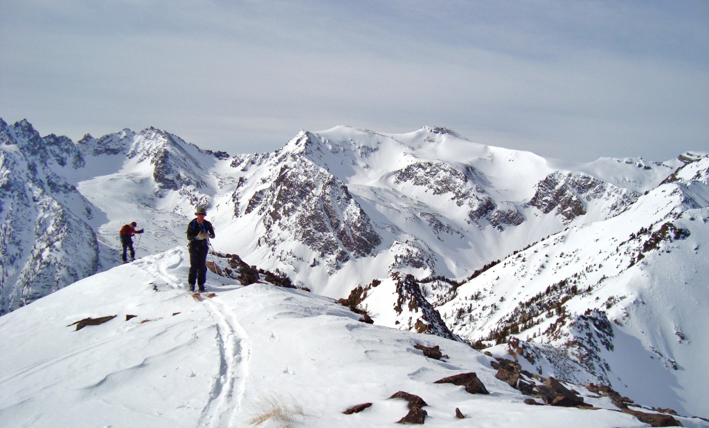
Views from the plateau
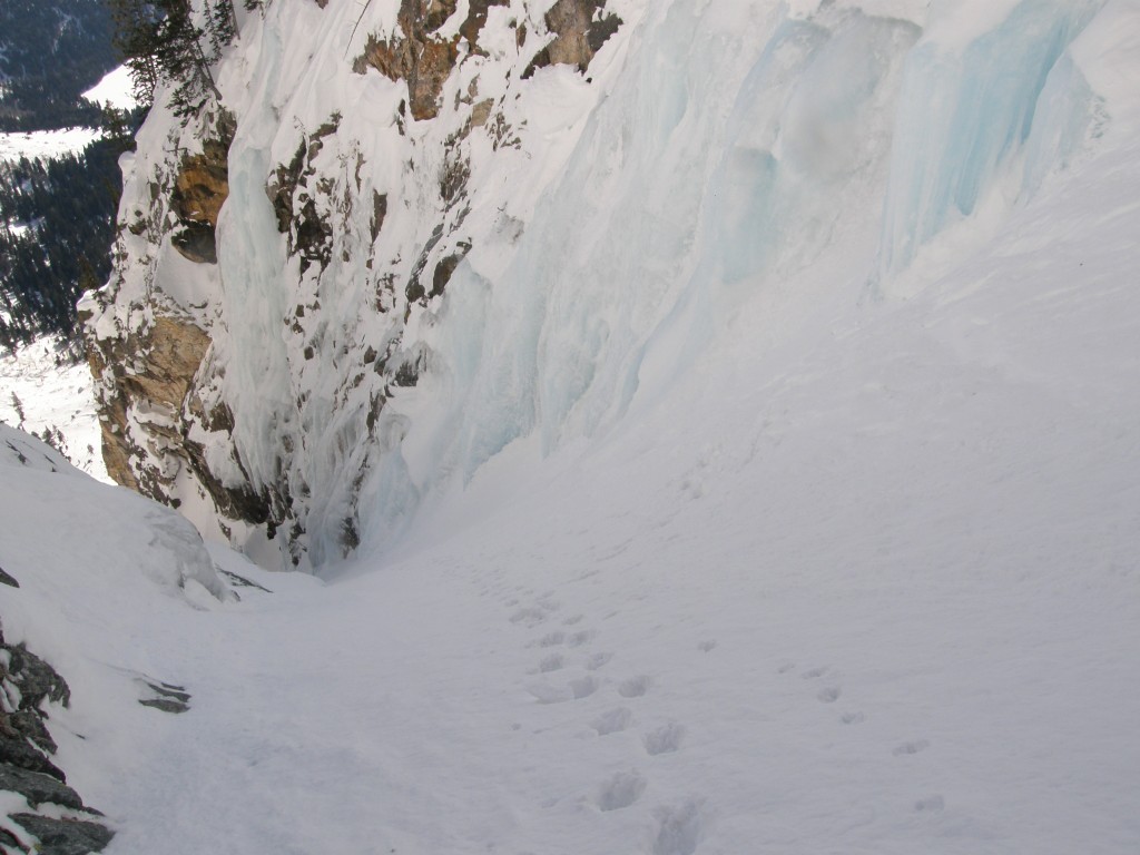
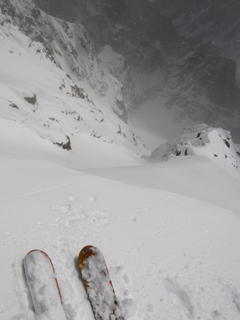
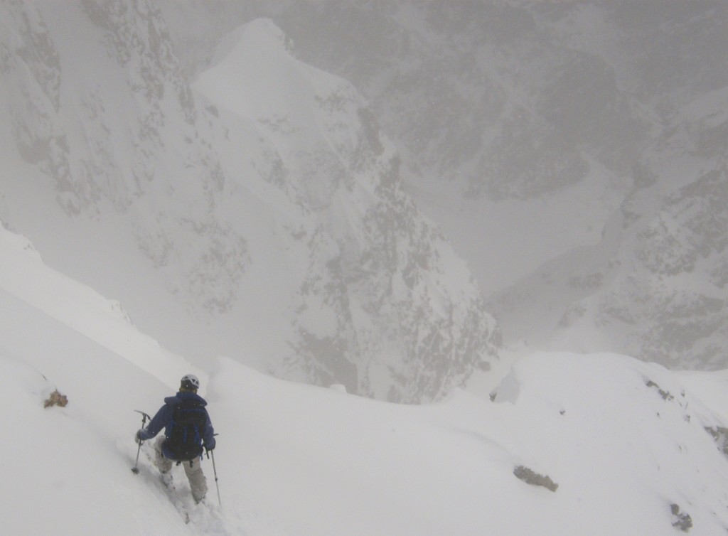
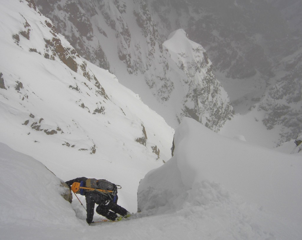
Now probably the crux of the climb, the down-climbing of the upper couloir. It was pretty steep and hard snow, and fall would be tragic.
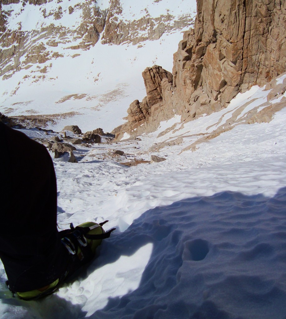
Looking down the upper couloir
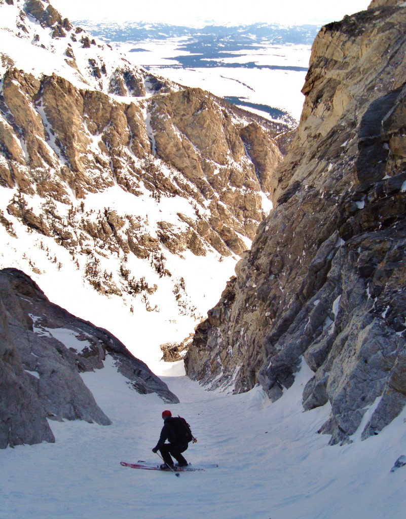
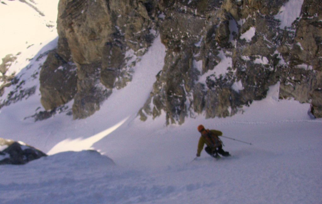
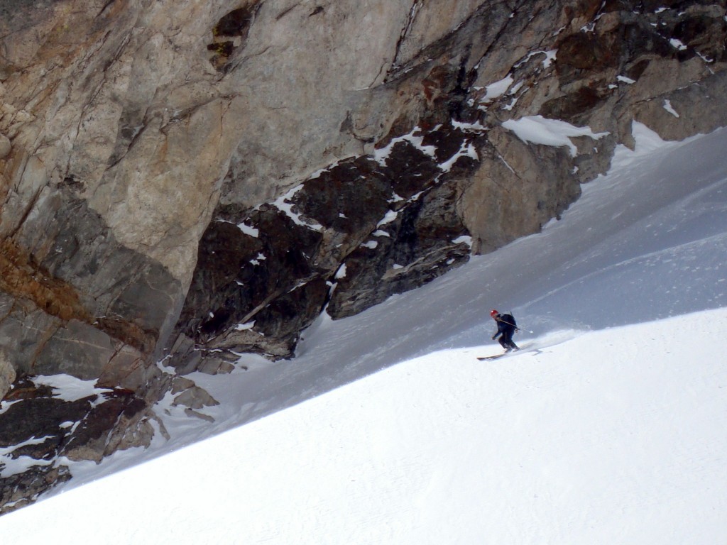
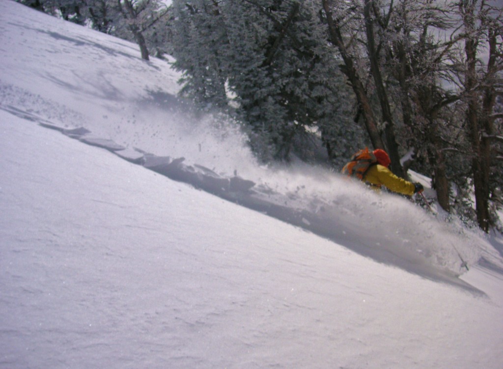
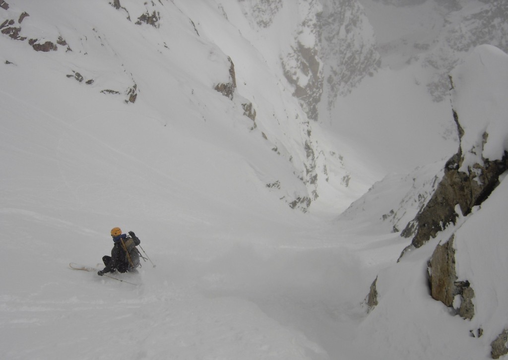
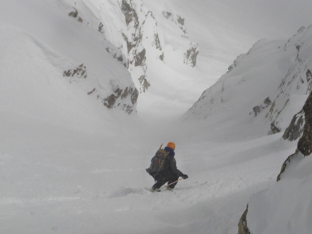
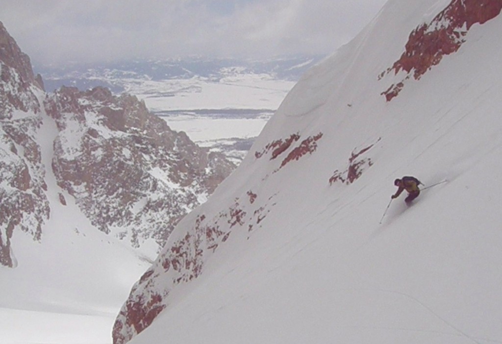
I arrived at my stashed skis, and started the descent. Some of the worst skiing conditions I have ever had. It was a frozen coral reef-like couloir, I just slid down the whole thing making probably 2 turns in 1500 vert. Just awful.
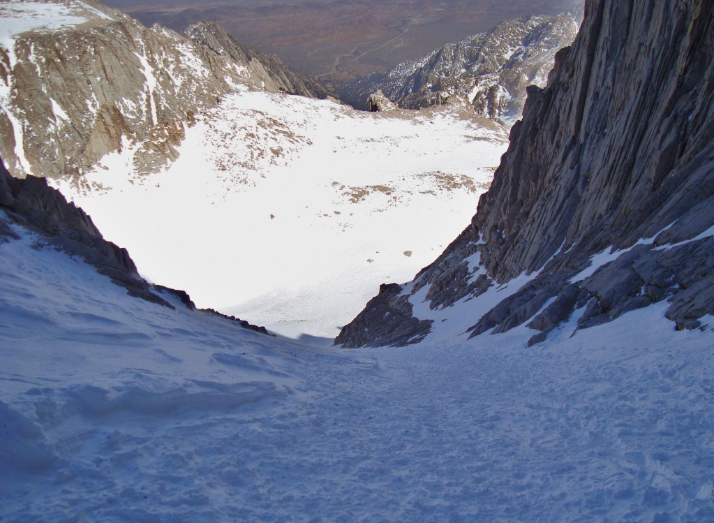
The coral reef of the Mountaineers gully
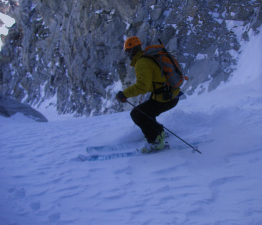
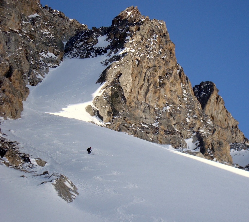
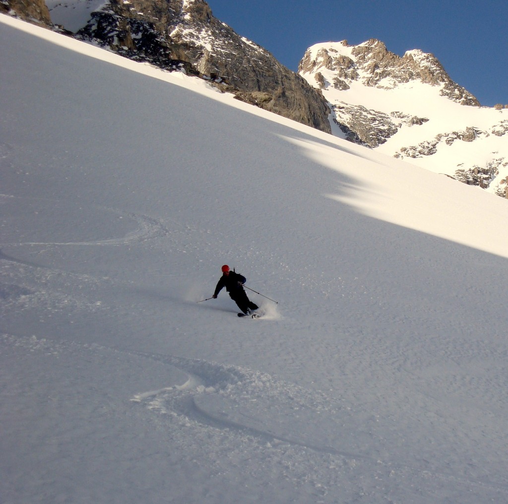
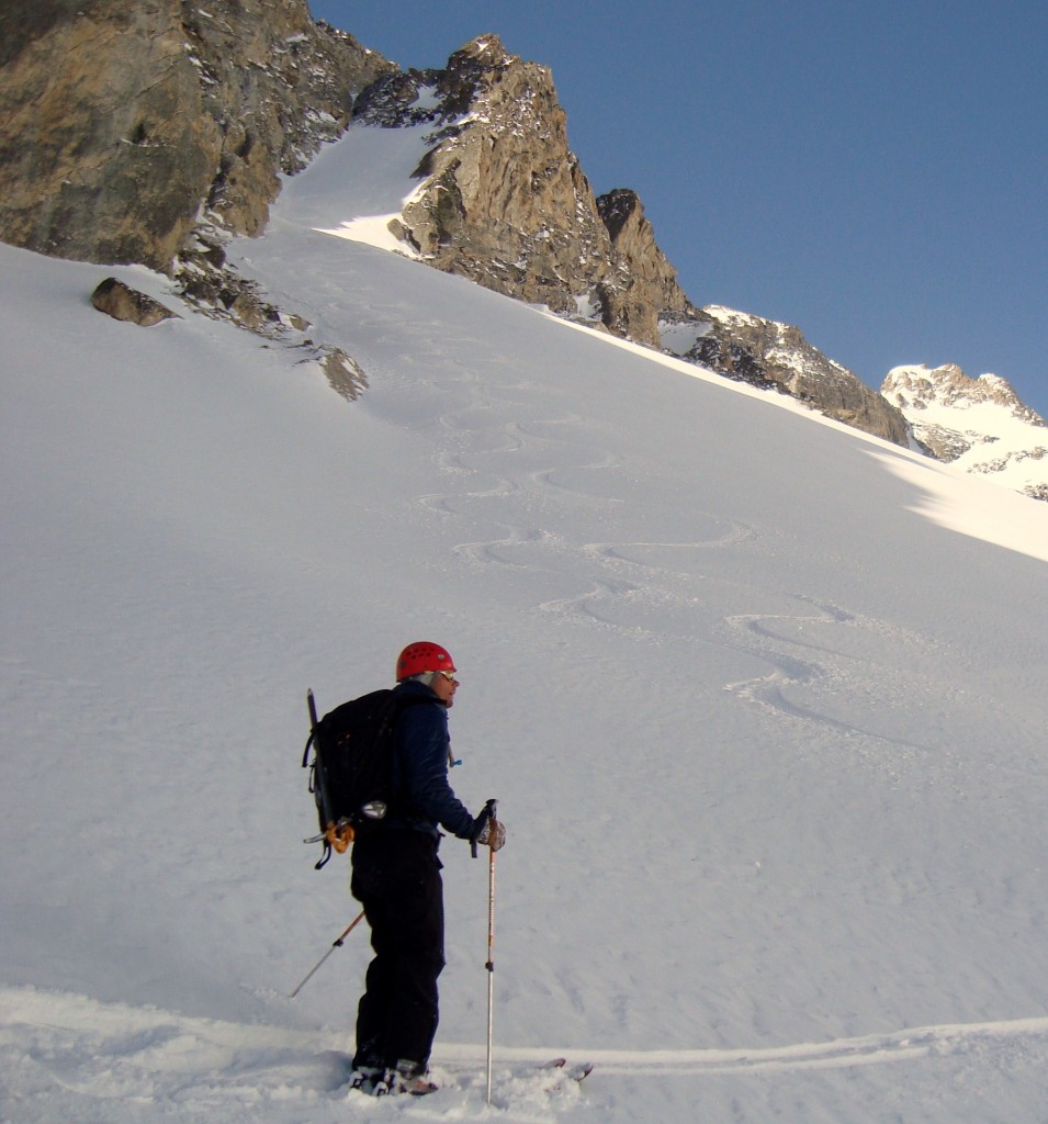
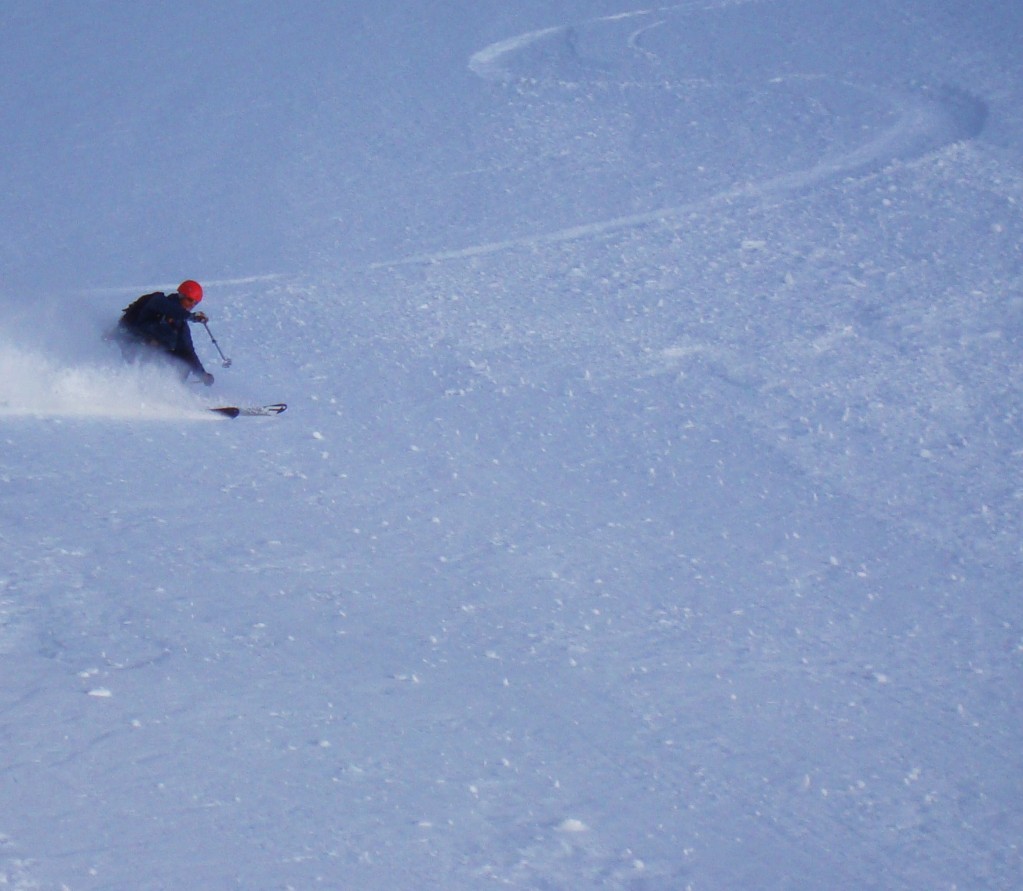
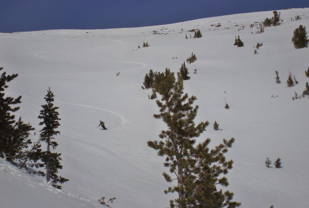
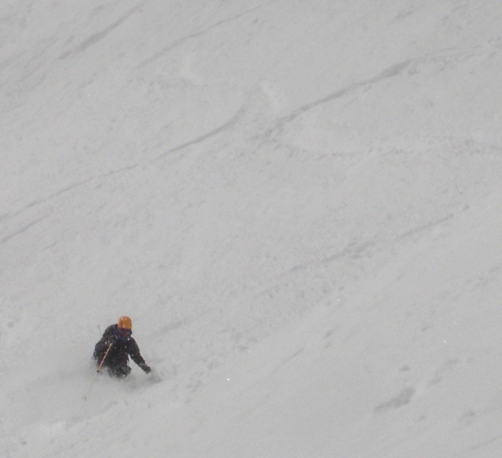
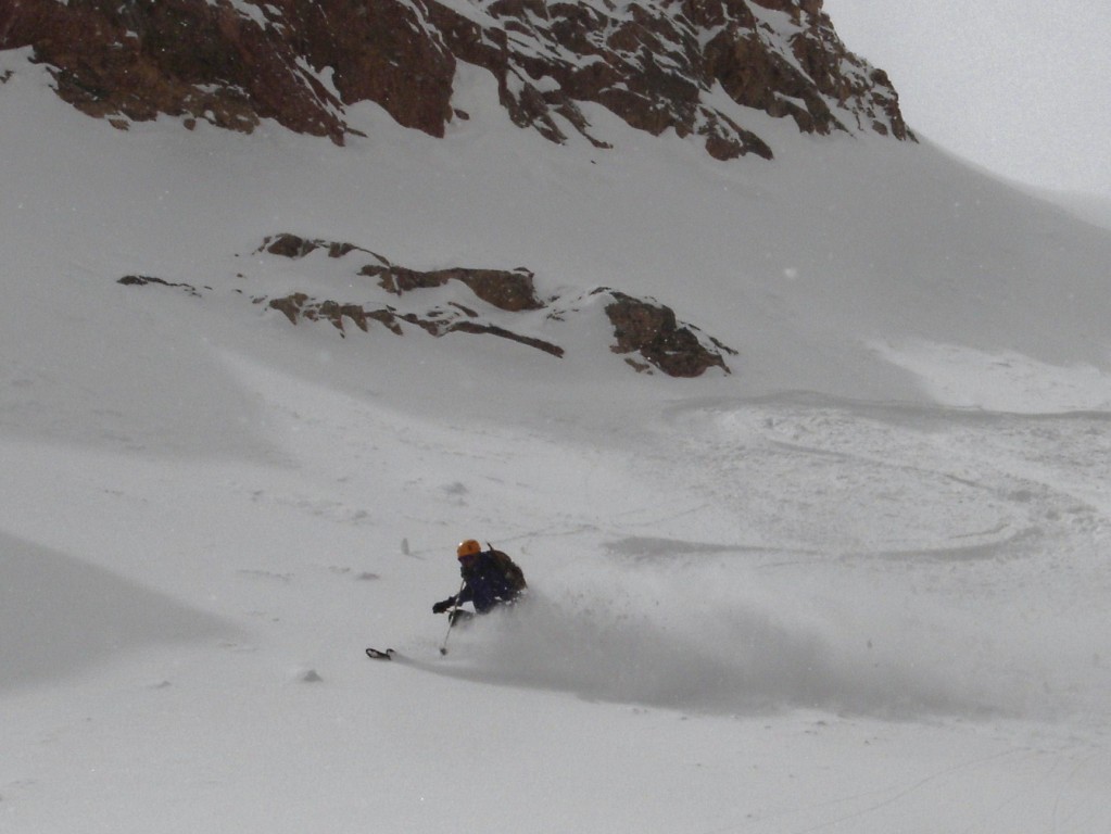
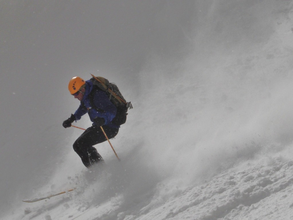
I “skied” the Mountaineers Gully, and then the skiing got good. It was a few thousand vertical of pretty good corn skiing all the way to my camp at Lower Boy Scout Lake. From there I packed up camp, and headed down the dreaded North Fork of Lone Pine Creek.
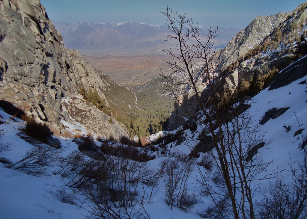
North Fork of Lone Pine Creek
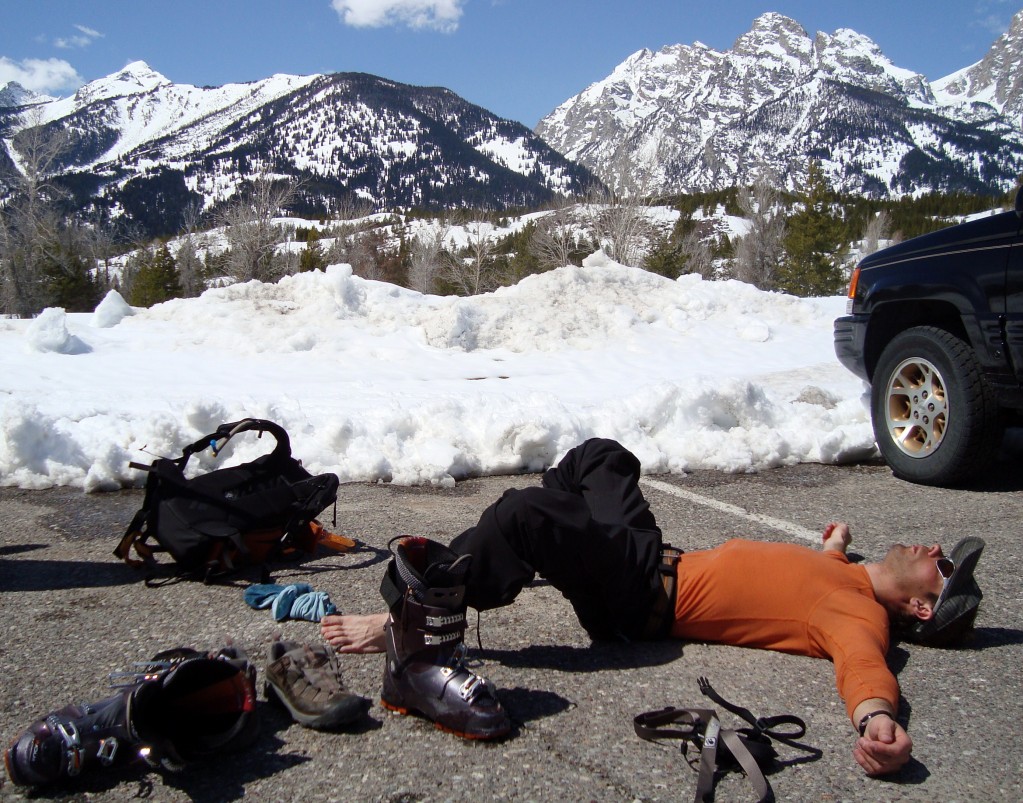
I made it out unscathed, down to where the snow ran out, and put the skis on the pack for a mile or so of trail walking.
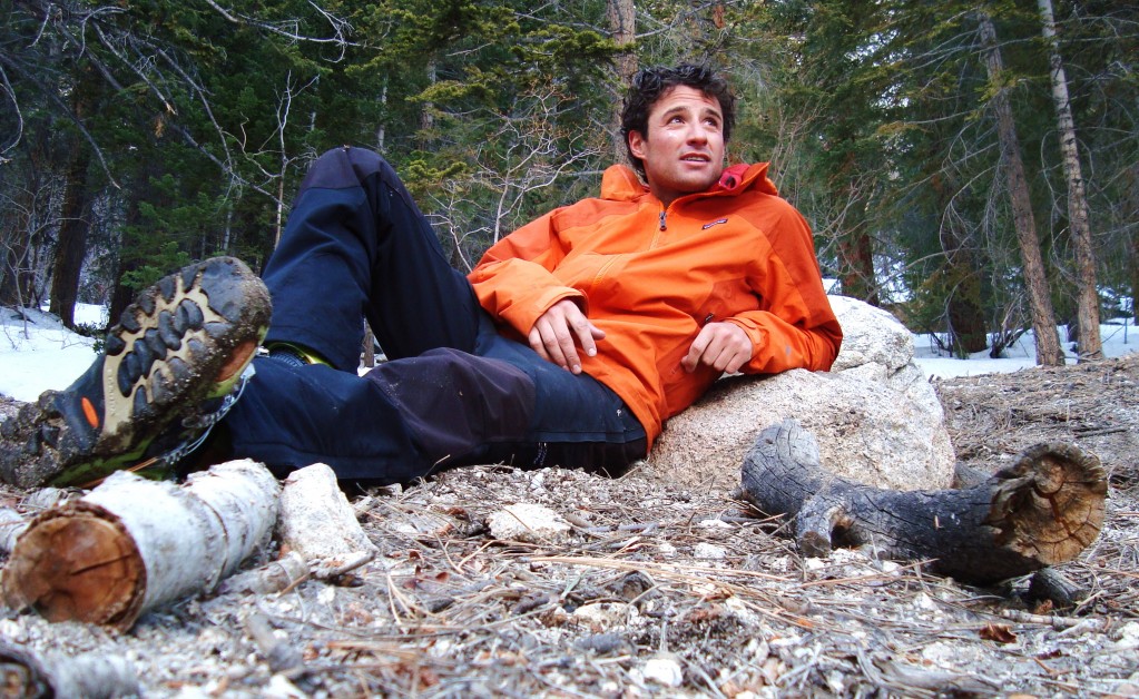
A little chill time in the forest
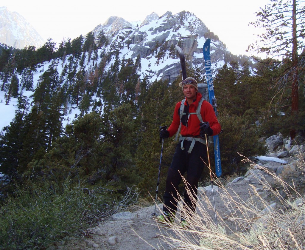
The trail out
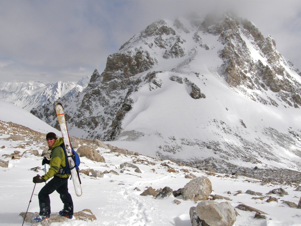
This was a great solo adventure. It was really rewarding to climb, and then ski down such a prevelant mountain like Whitney in winter conditions. Sometimes it’s not all about the down.

Satisfaction

